Mugumu night lights from space
Night Light of Mugumu (Mara) from space (Tanzania) Src. Average luminocity for 10x10km area is 1.5584% and for 50x50km: 0.0642%.
Analysis of Mugumu night lights 2016
Square area 10x10 km:
 0%
0%90-99
0%80-89
0%70-79
0%60-69
0%50-59
0.87%40-49
0%30-39
1.73%20-29
1.73%10-19
0%0-9
95.67%Square area 50x50 km:
0%90-99
0%80-89
0%70-79
0%60-69
0%50-59
0.03%40-49
0%30-39
0.07%20-29
0.07%10-19
0%0-9
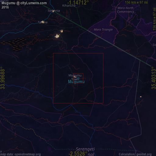
99.83%Clear (daylight) street map image can be seen on geolist.org.
Map coordinates:
1° 8' 49.6" South, 33° 59' 48.8" East
1° 51' 0" South, 34° 42' 0" East
2° 33' 9.4" South, 35° 24' 11.3" East
Some cities around Mugumu sort by population:
• Migori, KE
91 km =56.5 mi,  343°
343°
• Tarime
66.8 km =41.5 mi,  326°
326°
• Sirari
70.8 km =44 mi, 339°
• Nyamuswa
76.1 km =47.3 mi,  265°
265°
• Butiama
82 km =51 mi,  276°
276°
• Kihancha, KE
73.5 km =45.7 mi,  353°
353°
• Matonga
90.6 km =56.3 mi,  229°
229°
• Issenye
44 km =27.3 mi,  247°
247°
152663 (p: 18,431)
Sources (retrieved 2019-11-25):
» Earth at Night: Flat Maps 2012, 2016