Basotu night lights from space
Night Light of Basotu (Manyara) from space (Tanzania) Src. Average luminocity for 10x10km area is 0% and for 50x50km: 0.0245%.
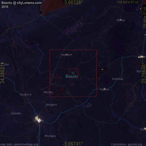
Analysis of Basotu night lights 2016
Square area 10x10 km:
100  0%
0%
90-99 0%
80-89 0%
70-79 0%
60-69 0%
50-59 0%
40-49 0%
30-39 0%
20-29 0%
10-19 0%
0-9 100%
0%90-99
0%80-89
0%70-79
0%60-69
0%50-59
0%40-49
0%30-39
0%20-29
0%10-19
0%0-9
100%Square area 50x50 km:
100 0%
90-99 0%
80-89 0%
70-79 0%
60-69 0%
50-59 0%
40-49 0%
30-39 0.07%
20-29 0%
10-19 0%
0-9 99.93%
0%90-99
0%80-89
0%70-79
0%60-69
0%50-59
0%40-49
0%30-39
0.07%20-29
0%10-19
0%0-9
99.93%Clear (daylight) street map image can be seen on geolist.org.
Map coordinates:
3° 39' 55" South, 34° 22' 48.8" East
4° 22' 0" South, 35° 4' 60" East
5° 4' 2.7" South, 35° 47' 11.3" East
Some cities around Basotu sort by population:
• Mtinko
32.9 km =20.4 mi,  231°
231°
• Igugunu
54.6 km =33.9 mi,  245°
245°
• Dareda
54.4 km =33.8 mi,  72°
72°
• Bashanet
39.8 km =24.7 mi, 68°
• Dongobesh
47.1 km =29.3 mi,  44°
44°
• Nangwa
42.1 km =26.2 mi,  105°
105°
• Ilongero
41.1 km =25.5 mi,  215°
215°
• Endasak
48.4 km =30.1 mi,  96°
96°
161197 (p: 20,937)
Sources (retrieved 2019-11-25):
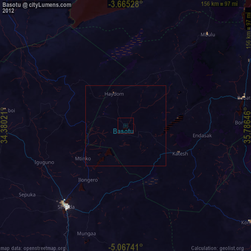
» Earth at Night: Flat Maps 2012, 2016