Donggang night lights from space
Night Light of Donggang (Taiwan) from space (Taiwan) Src. Average luminocity for 10x10km area is 60.875% and for 50x50km: 35.2668%.
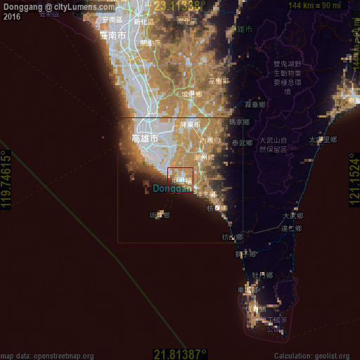
Analysis of Donggang night lights 2016
Square area 10x10 km:
 10.23%
90-99
10.98%80-89
4.73%70-79
16.86%60-69
22.92%50-59
0.95%40-49
5.11%30-39
3.79%20-29
13.26%10-19
9.09%0-9
2.08%Square area 50x50 km:
9.27%90-99
4.82%80-89
2.23%70-79
8.36%60-69
9.3%50-59
2.67%40-49
3.78%30-39
4.55%20-29
4.05%10-19
6.64%0-9
44.35%Clear (daylight) street map image can be seen on geolist.org.
Map coordinates:
23° 6' 48.2" North, 119° 44' 46.1" East
22° 27' 54.5" North, 120° 26' 57.4" East
21° 48' 49.9" North, 121° 9' 8.6" East
Some cities around Donggang sort by population:
• Kaohsiung
21.8 km =13.5 mi,  320°
320°
• Tainan
63.3 km =39.3 mi,  337°
337°
• Taitung City
78.4 km =48.7 mi,  65°
65°
• Douliu
138.7 km =86.2 mi,  3°
3°
• Magong
150.9 km =93.8 mi, 324°
• Hengchun
59.6 km =37 mi,  149°
149°
• Lugu
145.8 km =90.6 mi,  12°
12°
• Yujing
73.4 km =45.6 mi, 0°
1666596 (p: 48,100)
Sources (retrieved 2019-11-25):
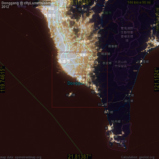
» Earth at Night: Flat Maps 2012, 2016