Lugu night lights from space
Night Light of Lugu (Taiwan) from space (Taiwan) Src. Average luminocity for 10x10km area is 31.623% and for 50x50km: 28.414%.
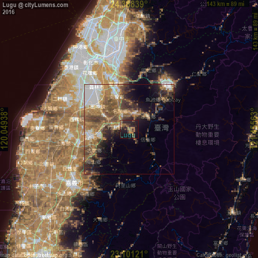
Analysis of Lugu night lights 2016
Square area 10x10 km:
 0%
0%90-99
0%80-89
0.4%70-79
7.54%60-69
11.31%50-59
5.36%40-49
4.56%30-39
10.32%20-29
18.85%10-19
30.56%0-9
11.11%Square area 50x50 km:
4.47%90-99
3.31%80-89
1.81%70-79
3.98%60-69
8.02%50-59
5.98%40-49
5.88%30-39
6.08%20-29
5.4%10-19
7.45%0-9
47.61%Clear (daylight) street map image can be seen on geolist.org.
Map coordinates:
24° 23' 18.2" North, 120° 2' 57.8" East
23° 44' 47" North, 120° 45' 9" East
23° 6' 4.4" North, 121° 27' 20.3" East
Some cities around Lugu sort by population:
• Taichung
45.1 km =28 mi,  351°
351°
• Hualien City
90.3 km =56.1 mi,  73°
73°
• Yuanlin
29.5 km =18.3 mi,  322°
322°
• Nantou
20.9 km =13 mi,  334°
334°
• Douliu
21.7 km =13.5 mi,  259°
259°
• Puli
32.9 km =20.4 mi,  42°
42°
• Zhongxing New Village
24.6 km =15.3 mi,  343°
343°
• Yujing
75.2 km =46.7 mi,  203°
203°
1672551 (p: 19,599)
Sources (retrieved 2019-11-25):
» Earth at Night: Flat Maps 2012, 2016