Couva night lights from space
Night Light of Couva (Couva-Tabaquite-Talparo) from space (Trinidad and Tobago) Src. Average luminocity for 10x10km area is 72.0289% and for 50x50km: 39.3632%.
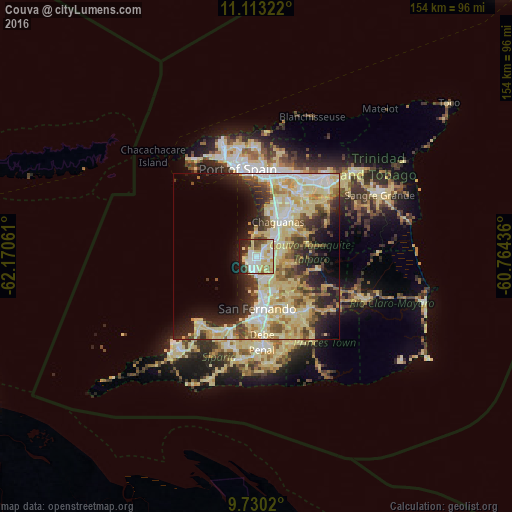
Analysis of Couva night lights 2016
Square area 10x10 km:
 16.12%
90-99
20.25%80-89
22.73%70-79
3.93%60-69
4.96%50-59
5.37%40-49
6.4%30-39
3.51%20-29
11.98%10-19
4.75%0-9
0%Square area 50x50 km:
5.59%90-99
7.88%80-89
13.52%70-79
3.98%60-69
3.8%50-59
3.81%40-49
4.28%30-39
4.63%20-29
7.61%10-19
9.26%0-9
35.64%Clear (daylight) street map image can be seen on geolist.org.
Map coordinates:
11° 6' 47.6" North, 62° 10' 14.2" West
10° 25' 20.9" North, 61° 28' 2.9" West
9° 43' 48.7" North, 60° 45' 51.7" West
Some cities around Couva sort by population:
• Chaguanas
11.9 km =7.4 mi,  27°
27°
• Mon Repos
16 km =9.9 mi,  171°
171°
• San Fernando
15.9 km =9.9 mi,  180°
180°
• Marabella
13.1 km =8.1 mi, 170°
• Laventille
25.4 km =15.8 mi,  352°
352°
• Tunapuna
27 km =16.8 mi,  18°
18°
• Arouca
27.1 km =16.8 mi, 32°
• Princes Town
19.8 km =12.3 mi,  147°
147°
3574724 (p: 5,178)
Sources (retrieved 2019-11-25):
» Earth at Night: Flat Maps 2012, 2016