Aydıncık night lights from space
Night Light of Aydıncık (Yozgat) from space (Turkey) Src. Average luminocity for 10x10km area is 1.9724% and for 50x50km: 1.3104%.
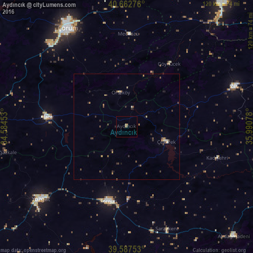
Analysis of Aydıncık night lights 2016
Square area 10x10 km:
 0%
0%90-99
0%80-89
0.65%70-79
1.14%60-69
0.16%50-59
0%40-49
0%30-39
0.65%20-29
0%10-19
0%0-9
97.4%Square area 50x50 km:
0.05%90-99
0.08%80-89
0.14%70-79
0.27%60-69
0.19%50-59
0.22%40-49
0.37%30-39
0.31%20-29
0.35%10-19
0.33%0-9
97.69%Clear (daylight) street map image can be seen on geolist.org.
Map coordinates:
40° 39' 45.9" North, 34° 35' 4.3" East
40° 7' 38.2" North, 35° 17' 15.5" East
39° 35' 15.1" North, 35° 59' 26.8" East
Some cities around Aydıncık sort by population:
• Yozgat
53.5 km =33.2 mi,  230°
230°
• Sorgun
36.3 km =22.6 mi,  193°
193°
• Zile
54.5 km =33.9 mi,  68°
68°
• Alaca
38.1 km =23.7 mi,  276°
276°
• Saraykent
51.8 km =32.2 mi,  158°
158°
• Çekerek
18.6 km =11.6 mi,  108°
108°
• Kadışehri
45.3 km =28.1 mi, 108°
• Mecitözü
43.7 km =27.2 mi,  0°
0°
751491 (p: 6,760)
Sources (retrieved 2019-11-25):
» Earth at Night: Flat Maps 2012, 2016