Yerköy night lights from space
Night Light of Yerköy (Yozgat) from space (Turkey) Src. Average luminocity for 10x10km area is 26.6429% and for 50x50km: 2.5249%.
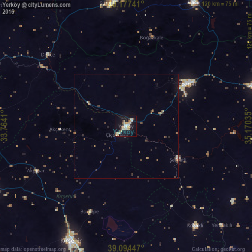
Analysis of Yerköy night lights 2016
Square area 10x10 km:
 2.44%
2.44%90-99
6.82%80-89
5.68%70-79
3.57%60-69
1.95%50-59
1.79%40-49
1.14%30-39
2.11%20-29
1.46%10-19
31.49%0-9
41.56%Square area 50x50 km:
0.13%90-99
0.36%80-89
0.29%70-79
0.3%60-69
0.32%50-59
0.27%40-49
0.41%30-39
0.75%20-29
0.42%10-19
1.71%0-9
95.04%Clear (daylight) street map image can be seen on geolist.org.
Map coordinates:
40° 10' 38.7" North, 33° 45' 50.8" East
39° 38' 17" North, 34° 28' 2" East
39° 5' 40.1" North, 35° 10' 13.3" East
Some cities around Yerköy sort by population:
• Kırşehir
60.6 km =37.7 mi,  205°
205°
• Yozgat
35.2 km =21.9 mi,  54°
54°
• Sorgun
64.4 km =40 mi,  72°
72°
• Sungurlu
59.4 km =36.9 mi,  352°
352°
• Mucur
64.5 km =40.1 mi,  186°
186°
• Şefaatlı
28.9 km =18 mi,  120°
120°
• Delice
51.5 km =32 mi,  312°
312°
• Yenifakılı
65.9 km =40.9 mi,  136°
136°
296895 (p: 35,294)
Sources (retrieved 2019-11-25):
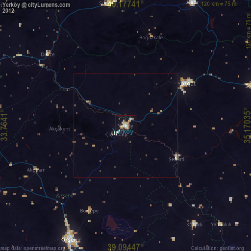
» Earth at Night: Flat Maps 2012, 2016