Sungurlu night lights from space
Night Light of Sungurlu (Çorum) from space (Turkey) Src. Average luminocity for 10x10km area is 21.4789% and for 50x50km: 1.8401%.
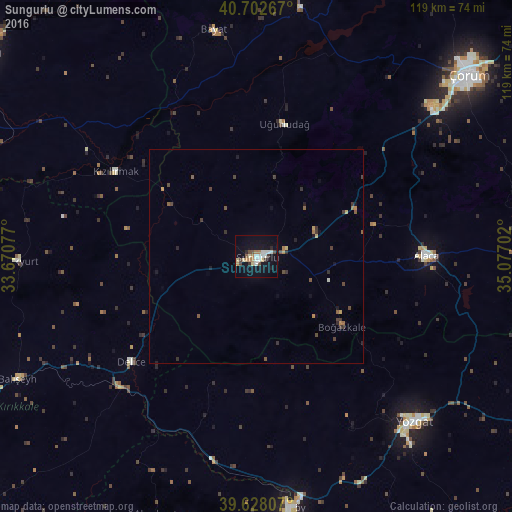
Analysis of Sungurlu night lights 2016
Square area 10x10 km:
 2.6%
2.6%90-99
4.71%80-89
3.08%70-79
1.46%60-69
3.08%50-59
0.81%40-49
3.73%30-39
1.62%20-29
1.62%10-19
18.99%0-9
58.28%Square area 50x50 km:
0.1%90-99
0.22%80-89
0.2%70-79
0.2%60-69
0.27%50-59
0.25%40-49
0.44%30-39
0.45%20-29
0.29%10-19
1.04%0-9
96.53%Clear (daylight) street map image can be seen on geolist.org.
Map coordinates:
40° 42' 9.6" North, 33° 40' 14.8" East
40° 10' 3" North, 34° 22' 26" East
39° 37' 41.1" North, 35° 4' 37.3" East
Some cities around Sungurlu sort by population:
• Çorum
64.9 km =40.3 mi,  49°
49°
• Yozgat
53.3 km =33.1 mi,  136°
136°
• Yerköy
59.4 km =36.9 mi,  172°
172°
• Alaca
39.8 km =24.7 mi,  89°
89°
• İskilip
63.7 km =39.6 mi,  7°
7°
• Delice
38 km =23.6 mi,  231°
231°
• Uğurludağ
31.7 km =19.7 mi, 12°
• Sulakyurt
55.9 km =34.7 mi,  268°
268°
739236 (p: 37,526)
Sources (retrieved 2019-11-25):
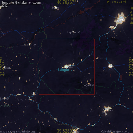
» Earth at Night: Flat Maps 2012, 2016