Sorgun night lights from space
Night Light of Sorgun (Yozgat) from space (Turkey) Src. Average luminocity for 10x10km area is 30.4371% and for 50x50km: 3.03%.
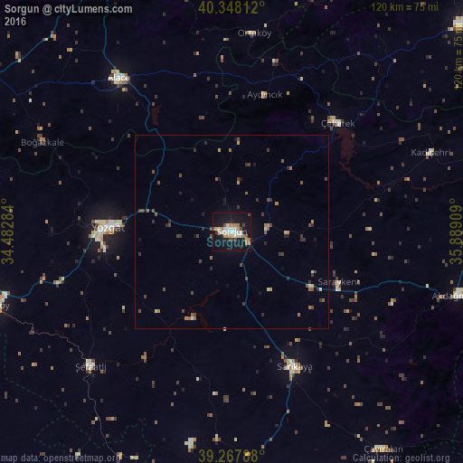
Analysis of Sorgun night lights 2016
Square area 10x10 km:
 3.74%
3.74%90-99
6.46%80-89
3.4%70-79
3.74%60-69
6.8%50-59
1.02%40-49
2.89%30-39
2.55%20-29
2.89%10-19
40.31%0-9
26.19%Square area 50x50 km:
0.15%90-99
0.35%80-89
0.22%70-79
0.33%60-69
0.58%50-59
0.43%40-49
0.72%30-39
0.67%20-29
0.55%10-19
2.04%0-9
93.95%Clear (daylight) street map image can be seen on geolist.org.
Map coordinates:
40° 20' 53.2" North, 34° 28' 58.2" East
39° 48' 36.4" North, 35° 11' 9.5" East
39° 16' 4.4" North, 35° 53' 20.7" East
Some cities around Sorgun sort by population:
• Yozgat
32.6 km =20.3 mi,  271°
271°
• Alaca
49.4 km =30.7 mi,  323°
323°
• Akdağmadeni
61.9 km =38.5 mi,  105°
105°
• Şefaatlı
50.1 km =31.1 mi,  227°
227°
• Saraykent
30.7 km =19.1 mi, 114°
• Çekerek
39.3 km =24.4 mi,  41°
41°
• Aydıncık
36.3 km =22.6 mi,  13°
13°
• Kadışehri
55.7 km =34.6 mi,  68°
68°
300352 (p: 62,862)
Sources (retrieved 2019-11-25):
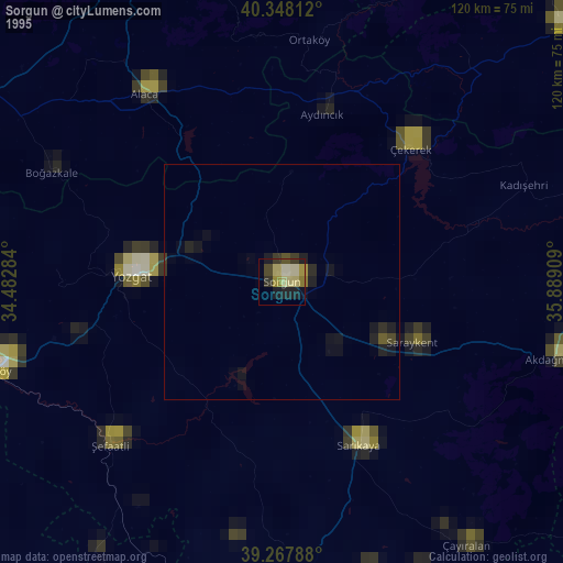
» NASA, Earths city lights 1995
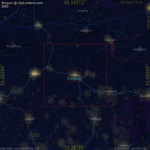
» NASA city lights 2003
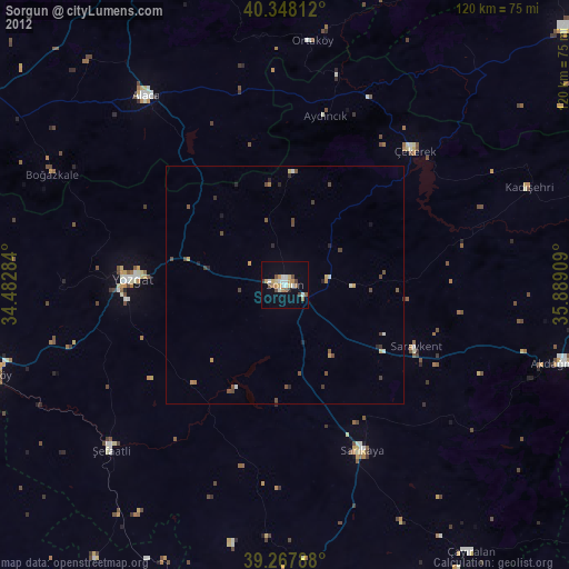
» Earth at Night: Flat Maps 2012, 2016