Sivas night lights from space
Night Light of Sivas from space (Turkey) Src. Average luminocity for 10x10km area is 72.8163% and for 50x50km: 6.2975%.
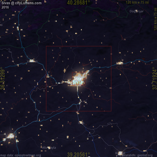
Analysis of Sivas night lights 2016
Square area 10x10 km:
 21.26%
90-99
23.47%80-89
7.48%70-79
12.41%60-69
6.12%50-59
2.72%40-49
5.95%30-39
5.95%20-29
11.39%10-19
3.23%0-9
0%Square area 50x50 km:
0.9%90-99
1.3%80-89
0.58%70-79
0.97%60-69
0.57%50-59
0.51%40-49
0.76%30-39
1.18%20-29
2.04%10-19
4.01%0-9
87.18%Clear (daylight) street map image can be seen on geolist.org.
Map coordinates:
40° 17' 12.5" North, 36° 18' 46.8" East
39° 44' 54" North, 37° 0' 58" East
39° 12' 20.2" North, 37° 43' 9.3" East
Some cities around Sivas sort by population:
• Tokat
74.2 km =46.1 mi,  327°
327°
• Şarkışla
68.2 km =42.4 mi,  229°
229°
• Zara
65.5 km =40.7 mi,  75°
75°
• Kangal
65.7 km =40.8 mi,  150°
150°
• Almus
70.4 km =43.7 mi,  352°
352°
• Artova
73.5 km =45.7 mi,  303°
303°
• Altınyayla
57.6 km =35.8 mi,  203°
203°
• Pazar
85.7 km =53.3 mi,  313°
313°
300619 (p: 264,022)
Sources (retrieved 2019-11-25):
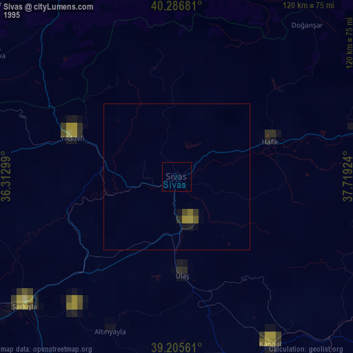
» NASA, Earths city lights 1995
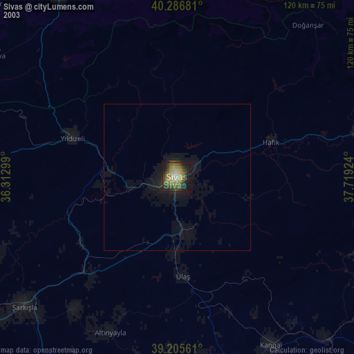
» NASA city lights 2003
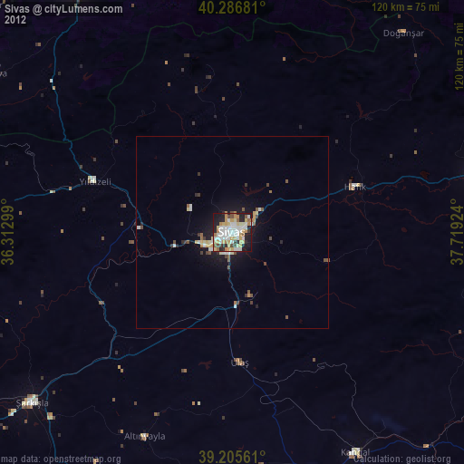
» Earth at Night: Flat Maps 2012, 2016