Kangal night lights from space
Night Light of Kangal (Sivas) from space (Turkey) Src. Average luminocity for 10x10km area is 10.7211% and for 50x50km: 1.1085%.
Analysis of Kangal night lights 2016
Square area 10x10 km:
 1.19%
1.19%90-99
4.25%80-89
0.68%70-79
0.51%60-69
0.17%50-59
0.68%40-49
2.72%30-39
0.68%20-29
0%10-19
0%0-9
89.12%Square area 50x50 km:
0.05%90-99
0.27%80-89
0.13%70-79
0.14%60-69
0.01%50-59
0.19%40-49
0.33%30-39
0.15%20-29
0.27%10-19
0.11%0-9
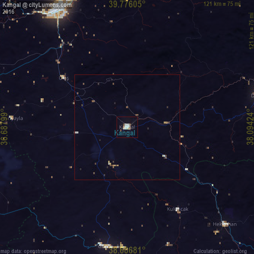
98.34%Clear (daylight) street map image can be seen on geolist.org.
Map coordinates:
39° 46' 33.8" North, 36° 41' 16.8" East
39° 14' 0.7" North, 37° 23' 28" East
38° 41' 12.5" North, 38° 5' 39.3" East
Some cities around Kangal sort by population:
• Sivas
65.7 km =40.8 mi,  330°
330°
• Darende
77.1 km =47.9 mi,  172°
172°
• Hekimhan
65.7 km =40.8 mi,  134°
134°
• Divriği
64 km =39.8 mi,  76°
76°
• Gürün
57.8 km =35.9 mi,  190°
190°
• Kuluncak
46.1 km =28.6 mi,  149°
149°
• Altınyayla
55.3 km =34.4 mi,  274°
274°
• Kale
57 km =35.4 mi,  112°
112°
310554 (p: 11,888)
Sources (retrieved 2019-11-25):
» Earth at Night: Flat Maps 2012, 2016