Siirt night lights from space
Night Light of Siirt from space (Turkey) Src. Average luminocity for 10x10km area is 35.7143% and for 50x50km: 4.8882%.
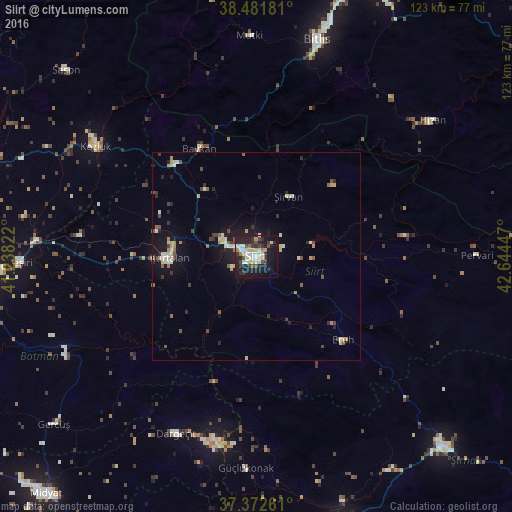
Analysis of Siirt night lights 2016
Square area 10x10 km:
 2.92%
2.92%90-99
11.04%80-89
5.84%70-79
1.46%60-69
2.6%50-59
1.3%40-49
5.52%30-39
6.33%20-29
13.15%10-19
35.88%0-9
13.96%Square area 50x50 km:
0.26%90-99
1.09%80-89
0.79%70-79
0.35%60-69
0.38%50-59
0.58%40-49
0.68%30-39
0.75%20-29
1.21%10-19
3.86%0-9
90.03%Clear (daylight) street map image can be seen on geolist.org.
Map coordinates:
38° 28' 54.5" North, 41° 14' 17.6" East
37° 55' 45.5" North, 41° 56' 28.8" East
37° 22' 21.4" North, 42° 38' 40.1" East
Some cities around Siirt sort by population:
• Kurtalan
22.5 km =14 mi,  268°
268°
• Kozluk
50 km =31.1 mi,  305°
305°
• Dargeçit
47 km =29.2 mi,  204°
204°
• Hizan
53.1 km =33 mi,  51°
51°
• Baykan
29.3 km =18.2 mi,  329°
329°
• Eruh
29.2 km =18.1 mi,  135°
135°
• Kayabağlar
24.8 km =15.4 mi,  284°
284°
• Şirvan
16.5 km =10.3 mi,  26°
26°
300822 (p: 114,034)
Sources (retrieved 2019-11-25):
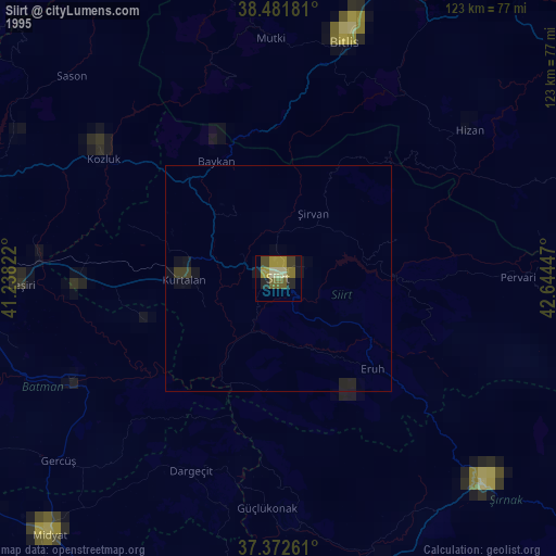
» NASA, Earths city lights 1995
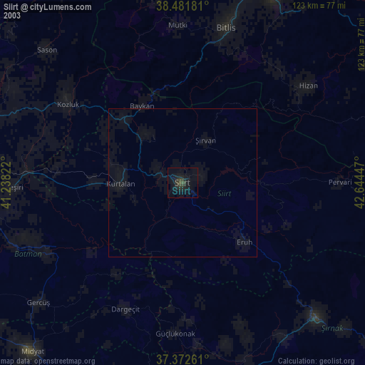
» NASA city lights 2003
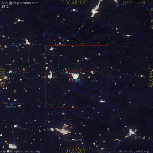
» Earth at Night: Flat Maps 2012, 2016