Manavgat night lights from space
Night Light of Manavgat (Antalya) from space (Turkey) Src. Average luminocity for 10x10km area is 71.734% and for 50x50km: 12.0063%.
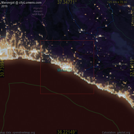
Analysis of Manavgat night lights 2016
Square area 10x10 km:
 11.95%
90-99
23.4%80-89
13.47%70-79
15.82%60-69
4.55%50-59
4.04%40-49
7.58%30-39
8.25%20-29
9.93%10-19
1.01%0-9
0%Square area 50x50 km:
0.8%90-99
2.17%80-89
1.61%70-79
1.67%60-69
1.04%50-59
1.32%40-49
2.35%30-39
2.74%20-29
3.49%10-19
11.05%0-9
71.74%Clear (daylight) street map image can be seen on geolist.org.
Map coordinates:
37° 20' 51.8" North, 30° 44' 23.8" East
36° 47' 12" North, 31° 26' 35" East
36° 13' 17.4" North, 32° 8' 46.3" East
Some cities around Manavgat sort by population:
• Belek
35.5 km =22.1 mi,  283°
283°
• Serik
33.9 km =21.1 mi,  295°
295°
• Avsallar
34.2 km =21.3 mi,  121°
121°
• Akseki
42.4 km =26.3 mi,  46°
46°
• Side
5.3 km =3.3 mi,  245°
245°
• İbradı
37.2 km =23.1 mi,  21°
21°
• Türkler
39.4 km =24.5 mi, 121°
• Payallar
41.8 km =26 mi, 119°
304854 (p: 99,254)
Sources (retrieved 2019-11-25):
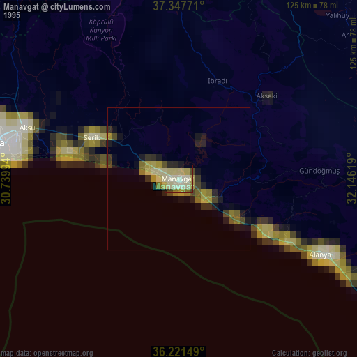
» NASA, Earths city lights 1995
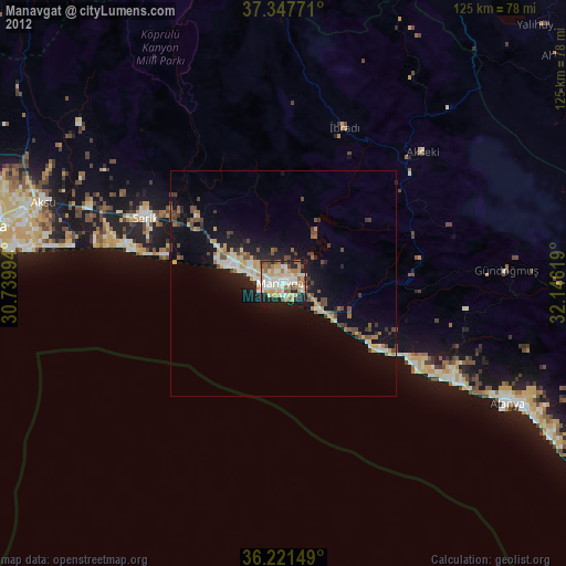
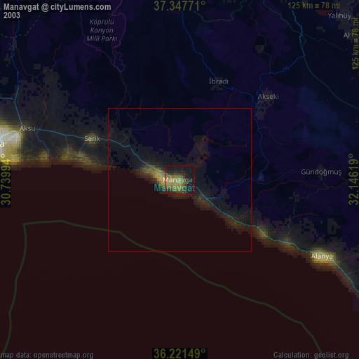
» NASA city lights 2003
» Earth at Night: Flat Maps 2012, 2016