Kütahya night lights from space
Night Light of Kütahya from space (Turkey) Src. Average luminocity for 10x10km area is 55.2313% and for 50x50km: 5.8899%.
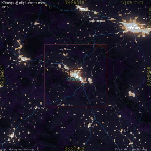
Analysis of Kütahya night lights 2016
Square area 10x10 km:
 11.39%
90-99
14.46%80-89
6.8%70-79
3.91%60-69
9.18%50-59
5.61%40-49
7.48%30-39
6.63%20-29
20.24%10-19
12.24%0-9
2.04%Square area 50x50 km:
0.59%90-99
0.91%80-89
0.52%70-79
0.35%60-69
0.96%50-59
0.94%40-49
1.19%30-39
0.9%20-29
1.97%10-19
4.74%0-9
86.93%Clear (daylight) street map image can be seen on geolist.org.
Map coordinates:
39° 57' 54.7" North, 29° 16' 48.8" East
39° 25' 27" North, 29° 58' 60" East
38° 52' 44.1" North, 30° 41' 11.3" East
Some cities around Kütahya sort by population:
• Eskişehir
60.5 km =37.6 mi,  49°
49°
• Bozüyük
54 km =33.6 mi,  4°
4°
• Tavşanlı
43.6 km =27.1 mi,  287°
287°
• Emet
62.9 km =39.1 mi,  261°
261°
• Gediz
69.9 km =43.4 mi,  226°
226°
• Pazaryeri
63.7 km =39.6 mi,  353°
353°
• İhsaniye
57.6 km =35.8 mi,  139°
139°
• Domaniç
52.8 km =32.8 mi,  322°
322°
305268 (p: 185,008)
Sources (retrieved 2019-11-25):
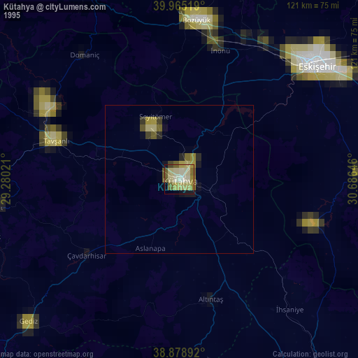
» NASA, Earths city lights 1995
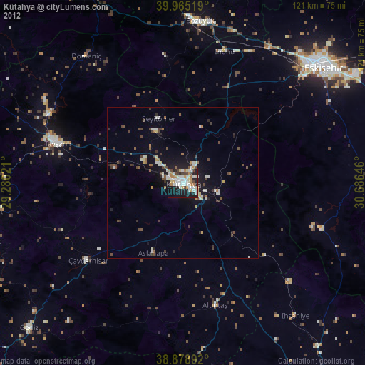
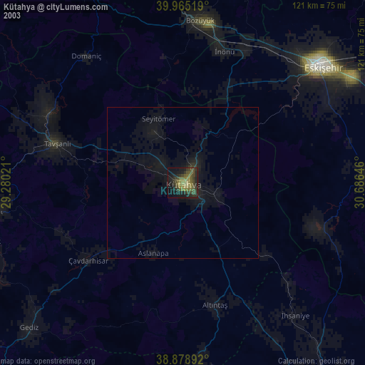
» NASA city lights 2003
» Earth at Night: Flat Maps 2012, 2016