Konya night lights from space
Night Light of Konya from space (Turkey) Src. Average luminocity for 10x10km area is 96.4529% and for 50x50km: 19.8081%.
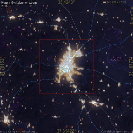
Analysis of Konya night lights 2016
Square area 10x10 km:
 57.95%
90-99
29.06%80-89
6.49%70-79
5.03%60-69
0.81%50-59
0.65%40-49
0%30-39
0%20-29
0%10-19
0%0-9
0%Square area 50x50 km:
4.28%90-99
4.2%80-89
2.28%70-79
3.1%60-69
2.25%50-59
1.48%40-49
2.1%30-39
3.06%20-29
4.55%10-19
7.99%0-9
64.71%Clear (daylight) street map image can be seen on geolist.org.
Map coordinates:
38° 25' 27.5" North, 31° 46' 53.5" East
37° 52' 16.9" North, 32° 29' 4.7" East
37° 18' 51.2" North, 33° 11' 16" East
Some cities around Konya sort by population:
• Çumra
41.8 km =26 mi,  142°
142°
• Beyşehir
70.2 km =43.6 mi,  252°
252°
• Ilgın
67.5 km =41.9 mi,  312°
312°
• Kadınhanı
47.4 km =29.5 mi,  329°
329°
• Altınekin
59 km =36.7 mi,  34°
34°
• Sarayönü
44 km =27.3 mi,  350°
350°
• Çatalhöyük
37.6 km =23.4 mi,  126°
126°
• Derbent
44 km =27.3 mi,  291°
291°
306571 (p: 875,530)
Sources (retrieved 2019-11-25):
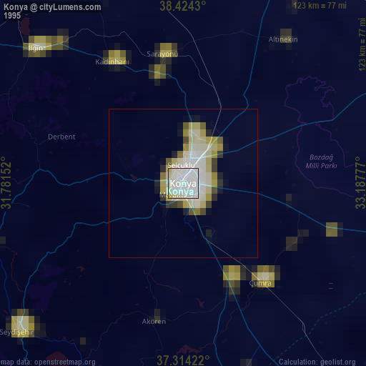
» NASA, Earths city lights 1995
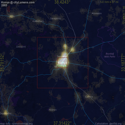
» NASA city lights 2003
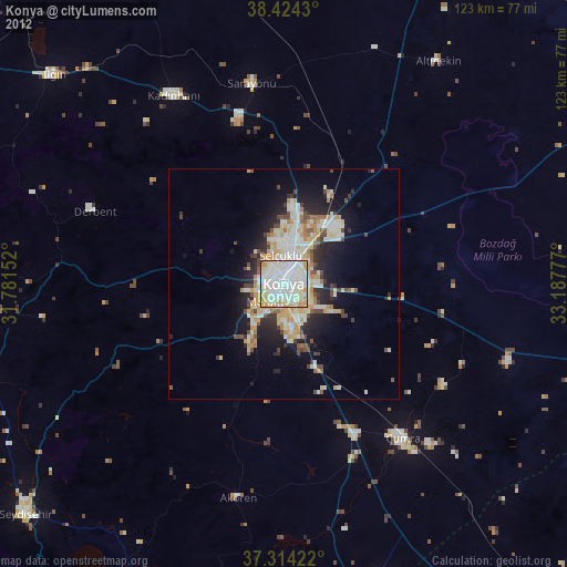
» Earth at Night: Flat Maps 2012, 2016