Beyşehir night lights from space
Night Light of Beyşehir (Konya) from space (Turkey) Src. Average luminocity for 10x10km area is 23.515% and for 50x50km: 3.48%.
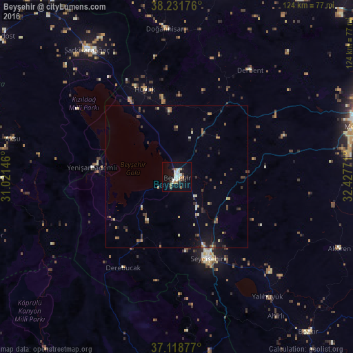
Analysis of Beyşehir night lights 2016
Square area 10x10 km:
 2.65%
2.65%90-99
8.64%80-89
0.71%70-79
0.71%60-69
3.7%50-59
2.65%40-49
1.06%30-39
1.76%20-29
2.82%10-19
22.75%0-9
52.56%Square area 50x50 km:
0.1%90-99
0.63%80-89
0.31%70-79
0.36%60-69
0.51%50-59
0.4%40-49
0.59%30-39
0.83%20-29
0.72%10-19
1.86%0-9
93.7%Clear (daylight) street map image can be seen on geolist.org.
Map coordinates:
38° 13' 54.3" North, 31° 1' 17.3" East
37° 40' 38.5" North, 31° 43' 28.5" East
37° 7' 7.6" North, 32° 25' 39.8" East
Some cities around Beyşehir sort by population:
• Seydişehir
30.6 km =19 mi,  159°
159°
• Şarkîkaraağaç
54.7 km =34 mi,  324°
324°
• Hüyük
32.7 km =20.3 mi,  339°
339°
• Doğanhisar
52.3 km =32.5 mi,  355°
355°
• Derbent
45.4 km =28.2 mi,  34°
34°
• Yalıhüyük
52.6 km =32.7 mi,  142°
142°
• Yenişarbademli
29.9 km =18.6 mi,  276°
276°
• Derebucak
37 km =23 mi,  210°
210°
321191 (p: 44,460)
Sources (retrieved 2019-11-25):
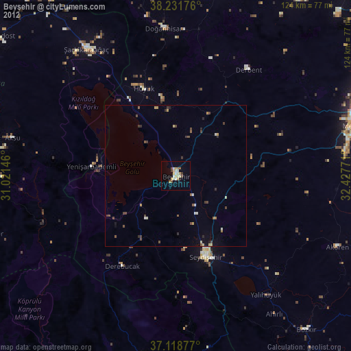
» Earth at Night: Flat Maps 2012, 2016