Altınekin night lights from space
Night Light of Altınekin (Konya) from space (Turkey) Src. Average luminocity for 10x10km area is 7.1888% and for 50x50km: 1.1891%.
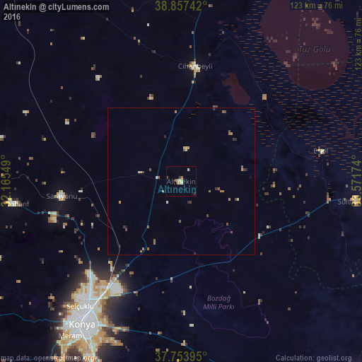
Analysis of Altınekin night lights 2016
Square area 10x10 km:
 0.17%
0.17%90-99
1.87%80-89
1.02%70-79
1.53%60-69
0.85%50-59
0%40-49
1.36%30-39
0.68%20-29
0.68%10-19
1.02%0-9
90.82%Square area 50x50 km:
0.01%90-99
0.16%80-89
0.18%70-79
0.17%60-69
0.28%50-59
0.26%40-49
0.29%30-39
0.2%20-29
0.18%10-19
0.07%0-9
98.21%Clear (daylight) street map image can be seen on geolist.org.
Map coordinates:
38° 51' 26.7" North, 32° 9' 55.8" East
38° 18' 28" North, 32° 52' 7" East
37° 45' 14.2" North, 33° 34' 18.3" East
Some cities around Altınekin sort by population:
• Konya
59 km =36.7 mi,  214°
214°
• Çumra
82.1 km =51 mi,  185°
185°
• Ilgın
83.4 km =51.8 mi,  267°
267°
• Kadınhanı
57.9 km =36 mi,  262°
262°
• Cihanbeyli
39.5 km =24.5 mi,  7°
7°
• Sarayönü
40.8 km =25.4 mi, 262°
• Çatalhöyük
71.2 km =44.2 mi,  182°
182°
• Derbent
81.3 km =50.5 mi,  246°
246°
323930 (p: 13,090)
Sources (retrieved 2019-11-25):
» Earth at Night: Flat Maps 2012, 2016