Kelkit night lights from space
Night Light of Kelkit (Gümüşhane) from space (Turkey) Src. Average luminocity for 10x10km area is 12.5925% and for 50x50km: 1.1732%.
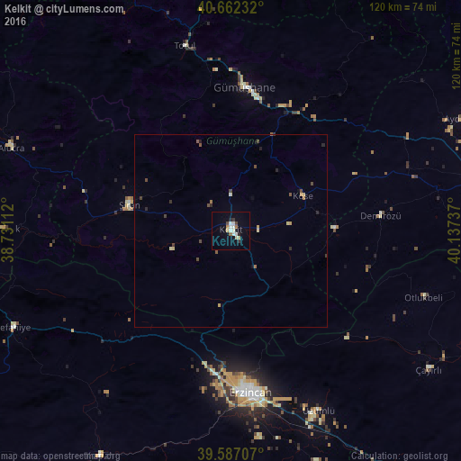
Analysis of Kelkit night lights 2016
Square area 10x10 km:
 1.62%
1.62%90-99
4.06%80-89
0.81%70-79
0.65%60-69
1.3%50-59
0.65%40-49
1.3%30-39
1.3%20-29
1.3%10-19
1.46%0-9
85.55%Square area 50x50 km:
0.07%90-99
0.21%80-89
0.14%70-79
0.14%60-69
0.13%50-59
0.14%40-49
0.31%30-39
0.17%20-29
0.23%10-19
0.12%0-9
98.34%Clear (daylight) street map image can be seen on geolist.org.
Map coordinates:
40° 39' 44.4" North, 38° 43' 52" East
40° 7' 36.6" North, 39° 26' 3.3" East
39° 35' 13.5" North, 40° 8' 14.5" East
Some cities around Kelkit sort by population:
• Erzincan
43.4 km =27 mi,  173°
173°
• Cimin
51.6 km =32.1 mi,  153°
153°
• Gumushkhane
37.2 km =23.1 mi,  4°
4°
• Bayburt
68.5 km =42.6 mi,  77°
77°
• Şiran
27.8 km =17.3 mi,  284°
284°
• Köse
20.1 km =12.5 mi,  63°
63°
• Aydıntepe
66.5 km =41.3 mi, 64°
• Refahiye
62.6 km =38.9 mi,  245°
245°
743537 (p: 23,870)
Sources (retrieved 2019-11-25):
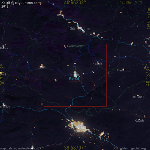
» Earth at Night: Flat Maps 2012, 2016