Gumushkhane night lights from space
Night Light of Gumushkhane (Gümüşhane) from space (Turkey) Src. Average luminocity for 10x10km area is 16.267% and for 50x50km: 1.4717%.
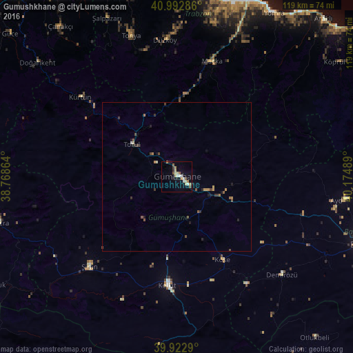
Analysis of Gumushkhane night lights 2016
Square area 10x10 km:
 2.38%
2.38%90-99
1.87%80-89
3.23%70-79
2.38%60-69
2.04%50-59
2.04%40-49
1.02%30-39
1.02%20-29
0.85%10-19
5.61%0-9
77.55%Square area 50x50 km:
0.1%90-99
0.1%80-89
0.17%70-79
0.28%60-69
0.2%50-59
0.25%40-49
0.26%30-39
0.27%20-29
0.27%10-19
0.43%0-9
97.65%Clear (daylight) street map image can be seen on geolist.org.
Map coordinates:
40° 59' 34.3" North, 38° 46' 7.1" East
40° 27' 36" North, 39° 28' 18.3" East
39° 55' 22.4" North, 40° 10' 29.6" East
Some cities around Gumushkhane sort by population:
• Kelkit
37.2 km =23.1 mi,  184°
184°
• Şiran
42.4 km =26.3 mi,  225°
225°
• Tonya
49.7 km =30.9 mi,  341°
341°
• Maçka
40.6 km =25.2 mi,  16°
16°
• Şalpazarı
58.2 km =36.2 mi, 335°
• Köse
31.8 km =19.8 mi,  152°
152°
• Düzköy
46.3 km =28.8 mi,  354°
354°
• Aydıntepe
57.4 km =35.7 mi,  98°
98°
746425 (p: 32,250)
Sources (retrieved 2019-11-25):
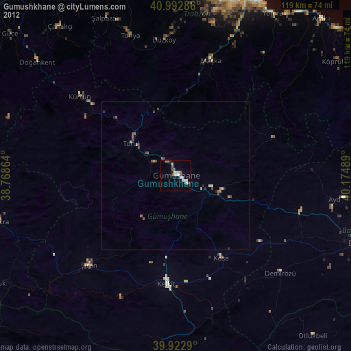
» Earth at Night: Flat Maps 2012, 2016