Karlıova night lights from space
Night Light of Karlıova (Bingöl) from space (Turkey) Src. Average luminocity for 10x10km area is 4.3963% and for 50x50km: 0.2528%.
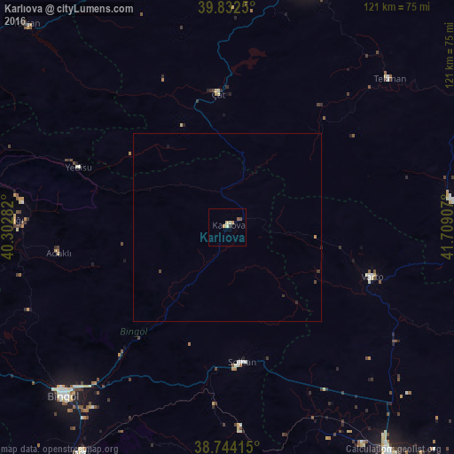
Analysis of Karlıova night lights 2016
Square area 10x10 km:
100  0%
0%
90-99 1.02%
80-89 1.02%
70-79 1.36%
60-69 0%
50-59 0.85%
40-49 0.51%
30-39 0.68%
20-29 0%
10-19 0%
0-9 94.56%
0%90-99
1.02%80-89
1.02%70-79
1.36%60-69
0%50-59
0.85%40-49
0.51%30-39
0.68%20-29
0%10-19
0%0-9
94.56%Square area 50x50 km:
100 0%
90-99 0.04%
80-89 0.04%
70-79 0.08%
60-69 0%
50-59 0.03%
40-49 0.07%
30-39 0.08%
20-29 0.04%
10-19 0.03%
0-9 99.59%
0%90-99
0.04%80-89
0.04%70-79
0.08%60-69
0%50-59
0.03%40-49
0.07%30-39
0.08%20-29
0.04%10-19
0.03%0-9
99.59%Clear (daylight) street map image can be seen on geolist.org.
Map coordinates:
39° 49' 57" North, 40° 18' 10.2" East
39° 17' 25.6" North, 41° 0' 21.4" East
38° 44' 38.9" North, 41° 42' 32.7" East
Some cities around Karlıova sort by population:
• Erzurum
72.5 km =45 mi,  18°
18°
• Bingöl
63.2 km =39.3 mi,  224°
224°
• Hınıs
59.5 km =37 mi,  82°
82°
• Genç
71.9 km =44.7 mi,  212°
212°
• Varto
40.7 km =25.3 mi,  108°
108°
• Solhan
36.4 km =22.6 mi,  173°
173°
• Ilıca
73.3 km =45.5 mi,  5°
5°
• Tekman
58 km =36 mi,  47°
47°
309032 (p: 8,801)
Sources (retrieved 2019-11-25):
» Earth at Night: Flat Maps 2012, 2016