Iğdır night lights from space
Night Light of Iğdır from space (Turkey) Src. Average luminocity for 10x10km area is 53.1803% and for 50x50km: 4.3718%.
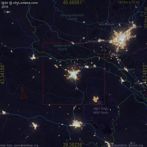
Analysis of Iğdır night lights 2016
Square area 10x10 km:
 10.71%
90-99
12.59%80-89
3.4%70-79
7.65%60-69
9.86%50-59
6.12%40-49
5.61%30-39
6.12%20-29
19.39%10-19
18.54%0-9
0%Square area 50x50 km:
0.42%90-99
0.49%80-89
0.44%70-79
0.99%60-69
0.68%50-59
0.41%40-49
0.59%30-39
0.65%20-29
0.97%10-19
2.83%0-9
91.52%Clear (daylight) street map image can be seen on geolist.org.
Map coordinates:
40° 27' 38.9" North, 43° 20' 30.8" East
39° 55' 25.4" North, 44° 2' 42" East
39° 22' 56.5" North, 44° 44' 53.3" East
Some cities around Iğdır sort by population:
• Doğubayazıt
42 km =26.1 mi,  175°
175°
• Vagharshapat, AM
34.3 km =21.3 mi,  38°
38°
• Armavir, AM
25.7 km =16 mi,  358°
358°
• Artashat, AM
42.8 km =26.6 mi,  84°
84°
• Masis, AM
35.3 km =21.9 mi,  63°
63°
• Metsamor, AM
26.7 km =16.6 mi,  51°
51°
• Sardarapat, AM
23.4 km =14.5 mi,  352°
352°
• Karakoyunlu
35.9 km =22.3 mi,  260°
260°
311665 (p: 75,721)
Sources (retrieved 2019-11-25):
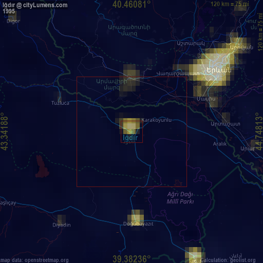
» NASA, Earths city lights 1995
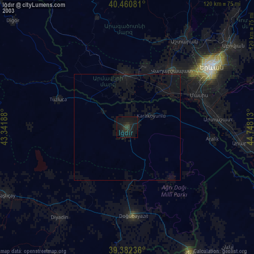
» NASA city lights 2003
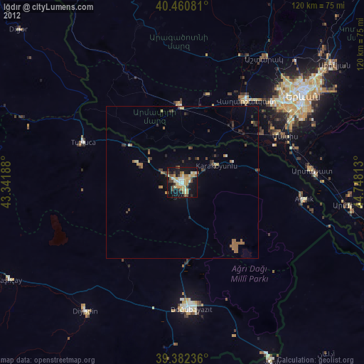
» Earth at Night: Flat Maps 2012, 2016