Karakoyunlu night lights from space
Night Light of Karakoyunlu (Iğdır) from space (Turkey) Src. Average luminocity for 10x10km area is 0.8997% and for 50x50km: 0.8371%.
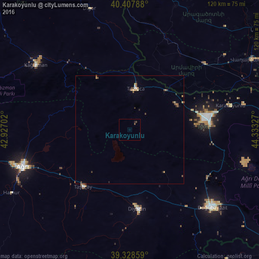
Analysis of Karakoyunlu night lights 2016
Square area 10x10 km:
 0%
0%90-99
0%80-89
0%70-79
0%60-69
0%50-59
0.51%40-49
0.85%30-39
0%20-29
0.68%10-19
0%0-9
97.96%Square area 50x50 km:
0.04%90-99
0.04%80-89
0.08%70-79
0.19%60-69
0.17%50-59
0.12%40-49
0.22%30-39
0.19%20-29
0.13%10-19
0.05%0-9
98.76%Clear (daylight) street map image can be seen on geolist.org.
Map coordinates:
40° 24' 28.4" North, 42° 55' 37.3" East
39° 52' 13.3" North, 43° 37' 48.5" East
39° 19' 42.9" North, 44° 19' 59.8" East
Some cities around Karakoyunlu sort by population:
• Ağrı
52.2 km =32.4 mi,  251°
251°
• Iğdır
35.9 km =22.3 mi,  80°
80°
• Doğubayazıt
52.9 km =32.9 mi,  132°
132°
• Armavir, AM
47 km =29.2 mi,  47°
47°
• Kağızman
52.9 km =32.9 mi,  307°
307°
• Diyadin
36.8 km =22.9 mi,  174°
174°
• Taşlıçay
34.9 km =21.7 mi,  219°
219°
• Sardarapat, AM
43.5 km =27 mi, 48°
309610 (p: 5,073)
Sources (retrieved 2019-11-25):
» Earth at Night: Flat Maps 2012, 2016