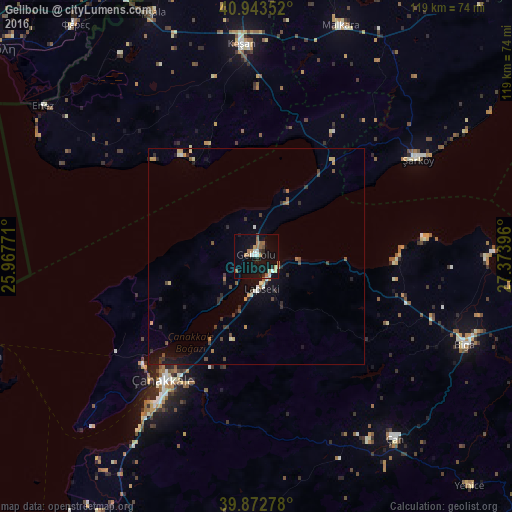
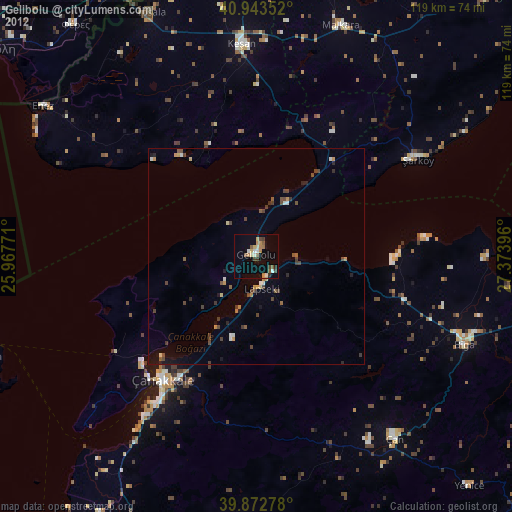
Gelibolu night lights from space
Night Light of Gelibolu (Canakkale) from space (Turkey) Src. Average luminocity for 10x10km area is 19.7432% and for 50x50km: 2.7389%.
Analysis of Gelibolu night lights 2016
Square area 10x10 km:
 2.38%
2.38%90-99
2.72%80-89
1.7%70-79
0.85%60-69
5.1%50-59
3.57%40-49
0.85%30-39
1.02%20-29
2.55%10-19
26.02%0-9
53.23%Square area 50x50 km:
0.14%90-99
0.37%80-89
0.3%70-79
0.28%60-69
0.41%50-59
0.37%40-49
0.47%30-39
0.43%20-29
0.73%10-19
1.9%0-9
94.6%Clear (daylight) street map image can be seen on geolist.org.
Map coordinates:
40° 56' 36.7" North, 25° 58' 3.8" East
40° 24' 37" North, 26° 40' 15" East
39° 52' 22" North, 27° 22' 26.3" East
Some cities around Gelibolu sort by population:
• Çanakkale
35.8 km =22.2 mi,  217°
217°
• Keşan
49.7 km =30.9 mi,  356°
356°
• Biga
52.5 km =32.6 mi,  112°
112°
• Malkara
56.8 km =35.3 mi,  20°
20°
• Çan
53 km =32.9 mi,  142°
142°
• Lapseki
7.5 km =4.7 mi,  170°
170°
• İpsala
61.8 km =38.4 mi,  336°
336°
• Eceabat
36.6 km =22.7 mi,  226°
226°
746983 (p: 25,178)
Sources (retrieved 2019-11-25):
» Earth at Night: Flat Maps 2012, 2016