Biga night lights from space
Night Light of Biga (Canakkale) from space (Turkey) Src. Average luminocity for 10x10km area is 21.4075% and for 50x50km: 3.4898%.
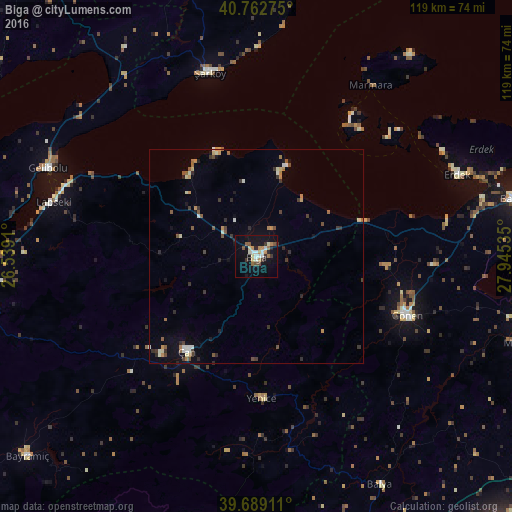
Analysis of Biga night lights 2016
Square area 10x10 km:
 1.79%
1.79%90-99
4.06%80-89
1.95%70-79
3.73%60-69
3.41%50-59
2.11%40-49
1.79%30-39
3.25%20-29
2.6%10-19
19.64%0-9
55.68%Square area 50x50 km:
0.22%90-99
0.53%80-89
0.35%70-79
0.46%60-69
0.47%50-59
0.52%40-49
0.47%30-39
0.74%20-29
0.72%10-19
1.32%0-9
94.19%Clear (daylight) street map image can be seen on geolist.org.
Map coordinates:
40° 45' 45.9" North, 26° 32' 20.8" East
40° 13' 41" North, 27° 14' 32" East
39° 41' 20.8" North, 27° 56' 43.3" East
Some cities around Biga sort by population:
• Bandırma
63.8 km =39.6 mi,  77°
77°
• Çanakkale
70.9 km =44.1 mi,  263°
263°
• Gönen
37.6 km =23.4 mi,  111°
111°
• Çan
27 km =16.8 mi,  216°
216°
• Gelibolu
52.5 km =32.6 mi,  292°
292°
• Erdek
50.5 km =31.4 mi,  67°
67°
• Lapseki
48.9 km =30.4 mi, 285°
• Manyas
65.1 km =40.5 mi, 108°
750605 (p: 30,852)
Sources (retrieved 2019-11-25):
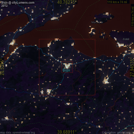
» Earth at Night: Flat Maps 2012, 2016