Ereğli night lights from space
Night Light of Ereğli (Konya) from space (Turkey) Src. Average luminocity for 10x10km area is 59.0601% and for 50x50km: 4.8708%.
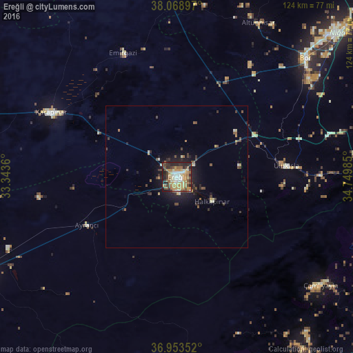
Analysis of Ereğli night lights 2016
Square area 10x10 km:
 6.49%
6.49%90-99
10.23%80-89
8.93%70-79
17.69%60-69
9.9%50-59
9.74%40-49
6.01%30-39
9.25%20-29
15.26%10-19
6.49%0-9
0%Square area 50x50 km:
0.28%90-99
0.69%80-89
0.62%70-79
0.91%60-69
0.57%50-59
0.74%40-49
0.82%30-39
0.99%20-29
1.44%10-19
3.08%0-9
89.86%Clear (daylight) street map image can be seen on geolist.org.
Map coordinates:
38° 4' 8.3" North, 33° 20' 37" East
37° 30' 48" North, 34° 2' 48.2" East
36° 57' 12.7" North, 34° 44' 59.5" East
Some cities around Ereğli sort by population:
• Karaman
82.3 km =51.1 mi,  243°
243°
• Niğde
75 km =46.6 mi,  47°
47°
• Karapınar
49.2 km =30.6 mi,  297°
297°
• Bor
61.6 km =38.3 mi, 47°
• Pozantı
73.4 km =45.6 mi,  97°
97°
• Emirgazi
47 km =29.2 mi,  336°
336°
• Karaisalı
93.9 km =58.3 mi,  107°
107°
• İnönü
33 km =20.5 mi,  228°
228°
315498 (p: 92,117)
Sources (retrieved 2019-11-25):
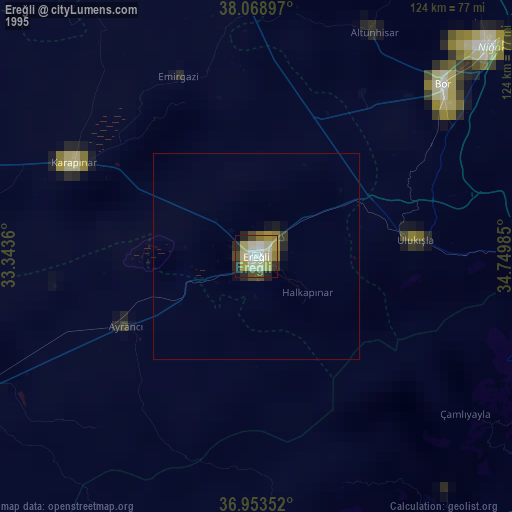
» NASA, Earths city lights 1995
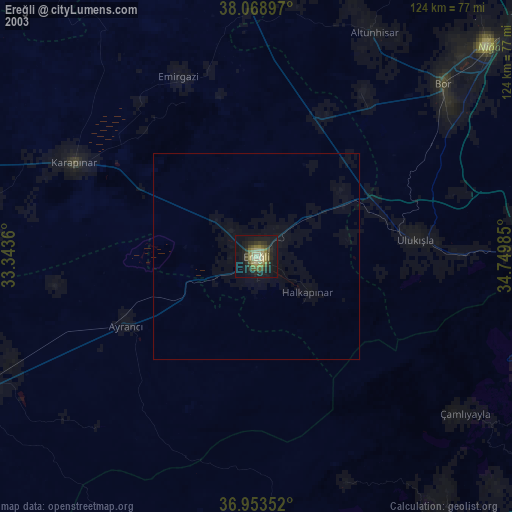
» NASA city lights 2003
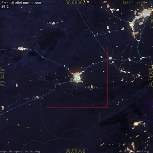
» Earth at Night: Flat Maps 2012, 2016