Karapınar night lights from space
Night Light of Karapınar (Konya) from space (Turkey) Src. Average luminocity for 10x10km area is 23.8946% and for 50x50km: 1.5668%.
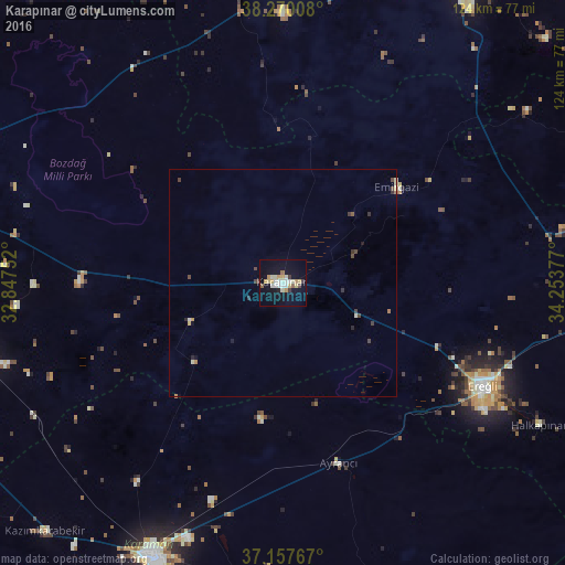


Analysis of Karapınar night lights 2016
Square area 10x10 km:
 2.55%
2.55%90-99
6.46%80-89
4.25%70-79
4.25%60-69
0.34%50-59
1.87%40-49
0.85%30-39
2.21%20-29
0.68%10-19
24.49%0-9
52.04%Square area 50x50 km:
0.1%90-99
0.32%80-89
0.24%70-79
0.21%60-69
0.1%50-59
0.11%40-49
0.28%30-39
0.3%20-29
0.17%10-19
1.09%0-9
97.07%Clear (daylight) street map image can be seen on geolist.org.
Map coordinates:
38° 16' 12.3" North, 32° 50' 51.1" East
37° 42' 57.5" North, 33° 33' 2.3" East
37° 9' 27.6" North, 34° 15' 13.6" East
Some cities around Karapınar sort by population:
• Aksaray
84 km =52.2 mi,  29°
29°
• Karaman
66.4 km =41.3 mi,  206°
206°
• Ereğli
49.2 km =30.6 mi,  117°
117°
• Çumra
70.2 km =43.6 mi,  256°
256°
• Altınekin
88.9 km =55.2 mi,  317°
317°
• Çatalhöyük
63.9 km =39.7 mi,  265°
265°
• Emirgazi
32.6 km =20.3 mi,  50°
50°
• İnönü
48.3 km =30 mi,  156°
156°
309415 (p: 49,509)
Sources (retrieved 2019-11-25):
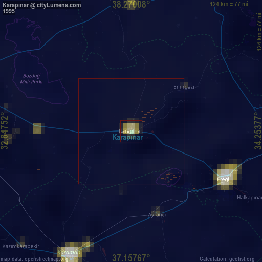
» NASA, Earths city lights 1995
» NASA city lights 2003
» Earth at Night: Flat Maps 2012, 2016