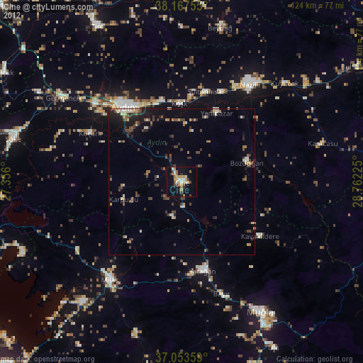
Çine night lights from space
Night Light of Çine (Aydın) from space (Turkey) Src. Average luminocity for 10x10km area is 28.7007% and for 50x50km: 8.3753%.
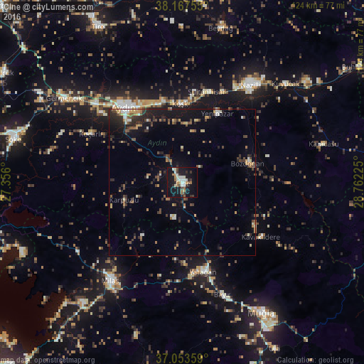
Analysis of Çine night lights 2016
Square area 10x10 km:
 1.87%
1.87%90-99
9.18%80-89
1.19%70-79
2.89%60-69
4.25%50-59
2.21%40-49
2.38%30-39
4.42%20-29
3.57%10-19
45.58%0-9
22.45%Square area 50x50 km:
0.34%90-99
1.23%80-89
0.67%70-79
1.04%60-69
1%50-59
1.12%40-49
1.57%30-39
1.82%20-29
2.56%10-19
6.38%0-9
82.28%Clear (daylight) street map image can be seen on geolist.org.
Map coordinates:
38° 10' 3.2" North, 27° 21' 21.6" East
37° 36' 45.6" North, 28° 3' 32.8" East
37° 3' 12.9" North, 28° 45' 44.1" East
Some cities around Çine sort by population:
• Aydın
32.2 km =20 mi,  323°
323°
• Yatağan
31.2 km =19.4 mi,  166°
166°
• Köşk
26.8 km =16.7 mi,  358°
358°
• Koçarlı
35.2 km =21.9 mi,  297°
297°
• Bozdoğan
23.4 km =14.5 mi,  73°
73°
• Atça
33.6 km =20.9 mi,  24°
24°
• Yenipazar
26.3 km =16.3 mi,  27°
27°
• Sultanhisar
31.9 km =19.8 mi, 15°
318372 (p: 21,327)
Sources (retrieved 2019-11-25):
» Earth at Night: Flat Maps 2012, 2016