Ceyhan night lights from space
Night Light of Ceyhan (Adana) from space (Turkey) Src. Average luminocity for 10x10km area is 51.4048% and for 50x50km: 12.4815%.
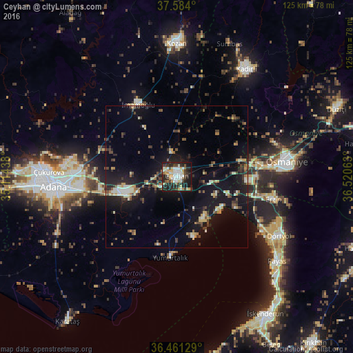
Analysis of Ceyhan night lights 2016
Square area 10x10 km:
 7.99%
7.99%90-99
14.12%80-89
5.95%70-79
7.82%60-69
3.23%50-59
4.76%40-49
5.1%30-39
10.88%20-29
23.98%10-19
15.82%0-9
0.34%Square area 50x50 km:
0.69%90-99
2.05%80-89
1.24%70-79
1.32%60-69
1.04%50-59
1.48%40-49
2.39%30-39
2.69%20-29
3.72%10-19
13.83%0-9
69.54%Clear (daylight) street map image can be seen on geolist.org.
Map coordinates:
37° 35' 2.4" North, 35° 6' 51.8" East
37° 1' 29" North, 35° 49' 3" East
36° 27' 40.6" North, 36° 31' 14.3" East
Some cities around Ceyhan sort by population:
• Adana
43.5 km =27 mi,  266°
266°
• Osmaniye
38.6 km =24 mi,  81°
81°
• Kadirli
46 km =28.6 mi,  32°
32°
• Dörtyol
42.1 km =26.2 mi,  119°
119°
• İmamoğlu
30.3 km =18.8 mi,  331°
331°
• Erzin
34.7 km =21.6 mi,  103°
103°
• Toprakkale
29.6 km =18.4 mi, 80°
• Mahmutlar
34.3 km =21.3 mi, 104°
318675 (p: 96,303)
Sources (retrieved 2019-11-25):
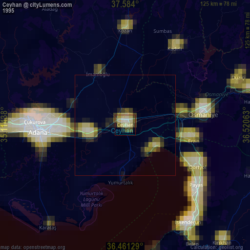
» NASA, Earths city lights 1995
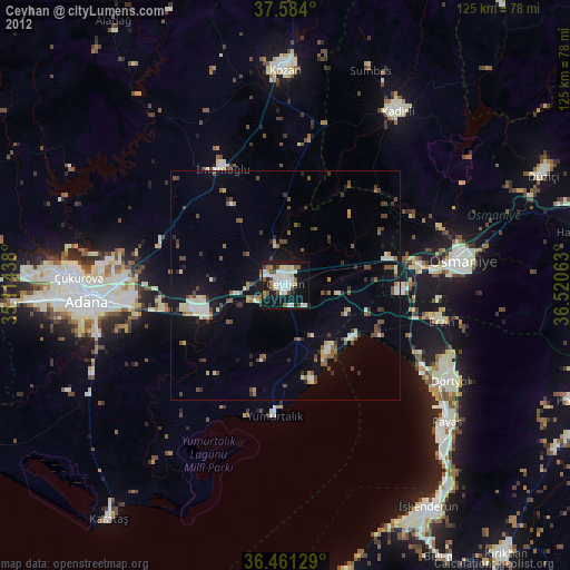
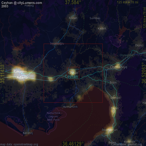
» NASA city lights 2003
» Earth at Night: Flat Maps 2012, 2016