Dörtyol night lights from space
Night Light of Dörtyol (Hatay) from space (Turkey) Src. Average luminocity for 10x10km area is 54.8214% and for 50x50km: 16.3306%.
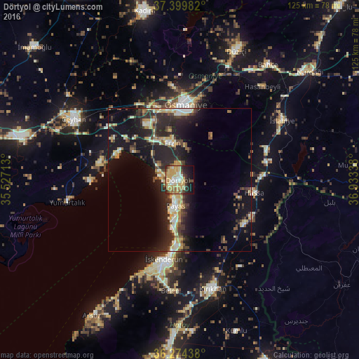
Analysis of Dörtyol night lights 2016
Square area 10x10 km:
 4.06%
4.06%90-99
7.95%80-89
13.47%70-79
21.1%60-69
5.52%50-59
4.55%40-49
5.03%30-39
6.49%20-29
11.2%10-19
14.94%0-9
5.68%Square area 50x50 km:
1.1%90-99
2.69%80-89
2.51%70-79
2.83%60-69
1%50-59
1.83%40-49
2.78%30-39
2.99%20-29
7.28%10-19
13.49%0-9
61.49%Clear (daylight) street map image can be seen on geolist.org.
Map coordinates:
37° 23' 59.4" North, 35° 31' 37.7" East
36° 50' 21" North, 36° 13' 48.9" East
36° 16' 27.8" North, 36° 56' 0.2" East
Some cities around Dörtyol sort by population:
• Osmaniye
26.2 km =16.3 mi,  3°
3°
• İskenderun
28.5 km =17.7 mi,  190°
190°
• Erzin
13 km =8.1 mi,  347°
347°
• Belen
39.1 km =24.3 mi,  184°
184°
• Denizciler
22.1 km =13.7 mi, 183°
• Hassa
26 km =16.2 mi,  99°
99°
• Toprakkale
26.6 km =16.5 mi,  343°
343°
• Mahmutlar
12.7 km =7.9 mi, 344°
316284 (p: 56,513)
Sources (retrieved 2019-11-25):
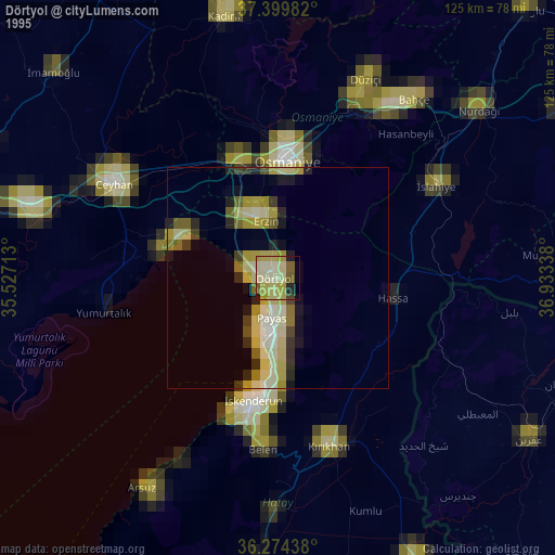
» NASA, Earths city lights 1995
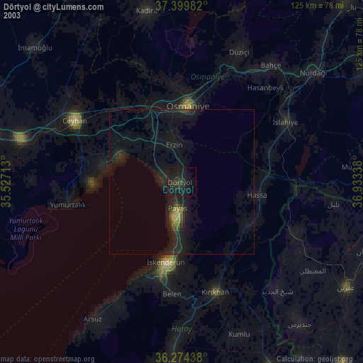
» NASA city lights 2003
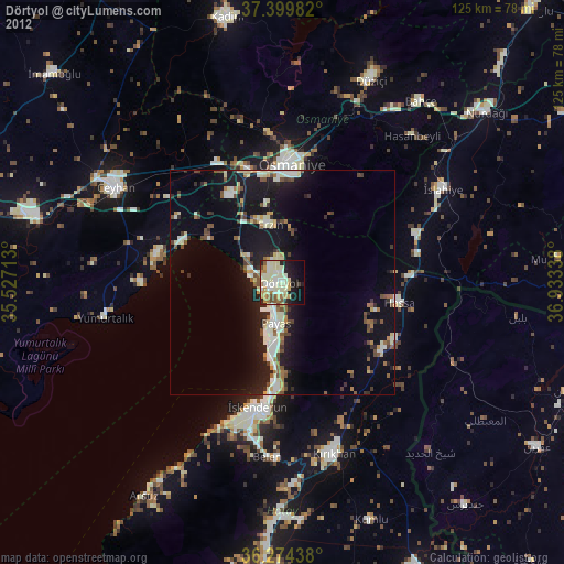
» Earth at Night: Flat Maps 2012, 2016