Antakya night lights from space
Night Light of Antakya (Hatay) from space (Turkey) Src. Average luminocity for 10x10km area is 80.028% and for 50x50km: 20.9761%.
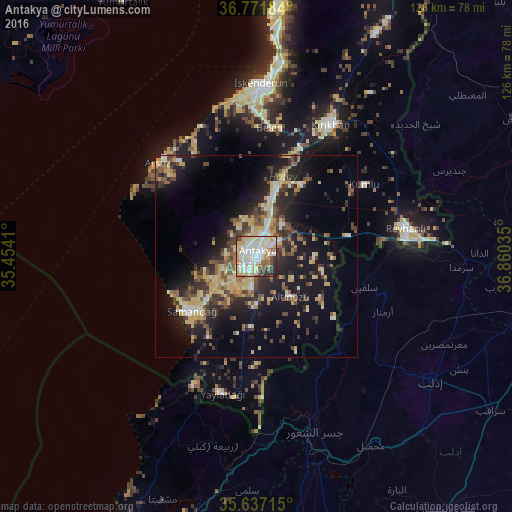
Analysis of Antakya night lights 2016
Square area 10x10 km:
 20.45%
90-99
27.27%80-89
16.08%70-79
11.01%60-69
4.37%50-59
5.77%40-49
4.55%30-39
5.94%20-29
4.37%10-19
0.17%0-9
0%Square area 50x50 km:
1.3%90-99
3.41%80-89
3.97%70-79
3.17%60-69
1.95%50-59
3.14%40-49
3.93%30-39
3.79%20-29
5.74%10-19
14.69%0-9
54.93%Clear (daylight) street map image can be seen on geolist.org.
Map coordinates:
36° 46' 18.6" North, 35° 27' 14.8" East
36° 12' 23.6" North, 36° 9' 26" East
35° 38' 13.7" North, 36° 51' 37.3" East
Some cities around Antakya sort by population:
• Kırıkhan
37.2 km =23.1 mi,  28°
28°
• Salqīn, SY
27.6 km =17.1 mi,  105°
105°
• Kafr Takhārīm, SY
33.7 km =20.9 mi, 107°
• Belen
31.5 km =19.6 mi,  6°
6°
• Serinyol
17.9 km =11.1 mi,  16°
16°
• Yayladağı
34.9 km =21.7 mi,  194°
194°
• Kastal
8.8 km =5.5 mi,  58°
58°
• Dursunlu
4.4 km =2.7 mi,  179°
179°
323779 (p: 210,000)
Sources (retrieved 2019-11-25):
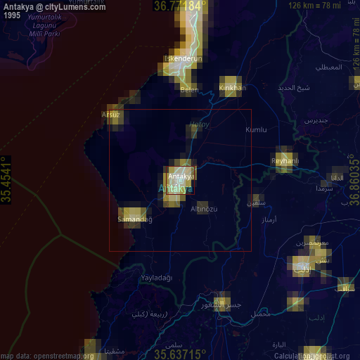
» NASA, Earths city lights 1995
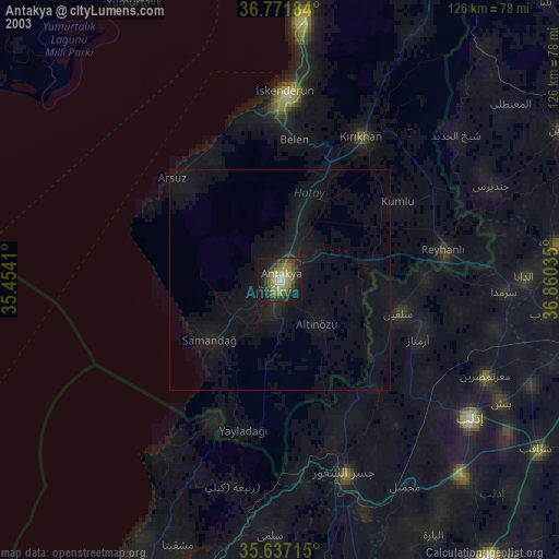
» NASA city lights 2003
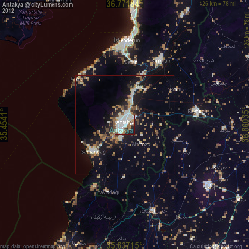
» Earth at Night: Flat Maps 2012, 2016