Zouila night lights from space
Night Light of Zouila (Al Mahdīyah) from space (Tunisia) Src. Average luminocity for 10x10km area is 30.467% and for 50x50km: 8.0615%.
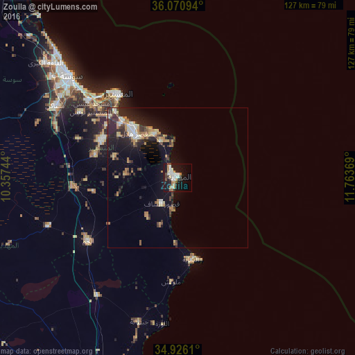
Analysis of Zouila night lights 2016
Square area 10x10 km:
 6.04%
6.04%90-99
7.14%80-89
3.11%70-79
4.03%60-69
3.85%50-59
1.28%40-49
1.65%30-39
2.93%20-29
4.4%10-19
32.97%0-9
32.6%Square area 50x50 km:
0.86%90-99
0.9%80-89
1.14%70-79
0.99%60-69
1.39%50-59
0.56%40-49
0.99%30-39
1.42%20-29
2.82%10-19
7.01%0-9
81.9%Clear (daylight) street map image can be seen on geolist.org.
Map coordinates:
36° 4' 15.4" North, 10° 21' 26.8" East
35° 30' 2" North, 11° 3' 38" East
34° 55' 34" North, 11° 45' 49.3" East
Some cities around Zouila sort by population:
• Mahdia
0.5 km =0.3 mi,  17°
17°
• Ksar Hellal
22.5 km =14 mi,  316°
316°
• Ksour Essaf
10.9 km =6.8 mi,  213°
213°
• Bekalta
14.3 km =8.9 mi,  335°
335°
• Seïada
24.1 km =15 mi, 320°
• Beni Hassane
24 km =14.9 mi,  288°
288°
• Sidi Alouane
17.8 km =11.1 mi,  218°
218°
• Lemta
24.5 km =15.2 mi, 319°
2472833 (p: 44,349)
Sources (retrieved 2019-11-25):
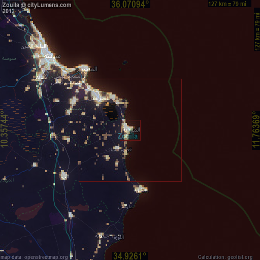
» Earth at Night: Flat Maps 2012, 2016