Ksar Hellal night lights from space
Night Light of Ksar Hellal (Al Munastīr) from space (Tunisia) Src. Average luminocity for 10x10km area is 52.8479% and for 50x50km: 15.8052%.
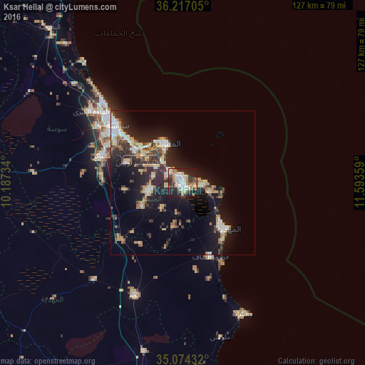
Analysis of Ksar Hellal night lights 2016
Square area 10x10 km:
 11.36%
90-99
10.31%80-89
6.47%70-79
6.47%60-69
9.44%50-59
4.2%40-49
4.9%30-39
8.74%20-29
23.6%10-19
14.51%0-9
0%Square area 50x50 km:
2.09%90-99
2.03%80-89
2.2%70-79
1.84%60-69
2.49%50-59
1.15%40-49
2.03%30-39
2.96%20-29
6.31%10-19
12.01%0-9
64.88%Clear (daylight) street map image can be seen on geolist.org.
Map coordinates:
36° 13' 1.4" North, 10° 11' 14.4" East
35° 38' 51.8" North, 10° 53' 25.7" East
35° 4' 27.6" North, 11° 35' 36.9" East
Some cities around Ksar Hellal sort by population:
• Djemmal
12.4 km =7.7 mi,  256°
256°
• Bekalta
10 km =6.2 mi,  109°
109°
• Seïada
2.4 km =1.5 mi,  4°
4°
• Banbalah
10 km =6.2 mi,  305°
305°
• Ksibet el Mediouni
6 km =3.7 mi, 314°
• Beni Hassane
11.6 km =7.2 mi,  219°
219°
• Touza
5.9 km =3.7 mi, 256°
• Lemta
2.2 km =1.4 mi,  342°
342°
2468106 (p: 39,792)
Sources (retrieved 2019-11-25):
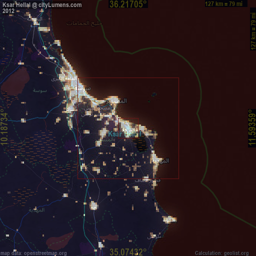
» Earth at Night: Flat Maps 2012, 2016