Ksour Essaf night lights from space
Night Light of Ksour Essaf (Al Mahdīyah) from space (Tunisia) Src. Average luminocity for 10x10km area is 18.2509% and for 50x50km: 7.2729%.
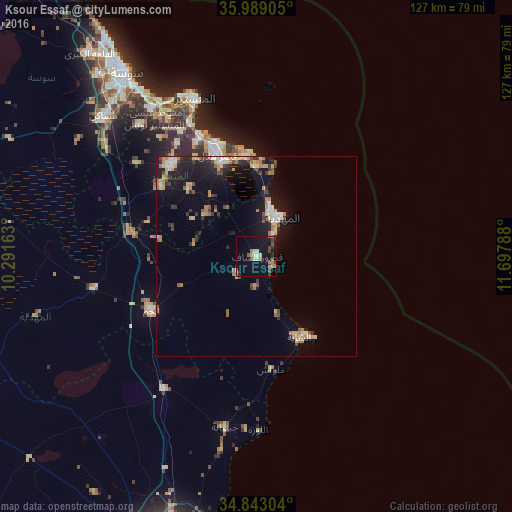
Analysis of Ksour Essaf night lights 2016
Square area 10x10 km:
 1.65%
1.65%90-99
1.28%80-89
2.2%70-79
1.65%60-69
4.21%50-59
1.1%40-49
5.13%30-39
2.01%20-29
2.2%10-19
15.57%0-9
63%Square area 50x50 km:
0.61%90-99
0.68%80-89
1.1%70-79
1.01%60-69
1.35%50-59
0.59%40-49
0.94%30-39
1.13%20-29
1.46%10-19
6.68%0-9
84.47%Clear (daylight) street map image can be seen on geolist.org.
Map coordinates:
35° 59' 20.6" North, 10° 17' 29.9" East
35° 25' 5.1" North, 10° 59' 41.1" East
34° 50' 34.9" North, 11° 41' 52.4" East
Some cities around Ksour Essaf sort by population:
• Mahdia
11.4 km =7.1 mi,  32°
32°
• Zouila
10.9 km =6.8 mi, 33°
• Ksar Hellal
27.2 km =16.9 mi,  339°
339°
• Chebba
22.9 km =14.2 mi,  151°
151°
• Bekalta
22.2 km =13.8 mi,  359°
359°
• Beni Hassane
23.6 km =14.7 mi,  314°
314°
• Sidi Alouane
7 km =4.3 mi,  226°
226°
• Melloulèche
28.2 km =17.5 mi,  172°
172°
2467856 (p: 27,936)
Sources (retrieved 2019-11-25):
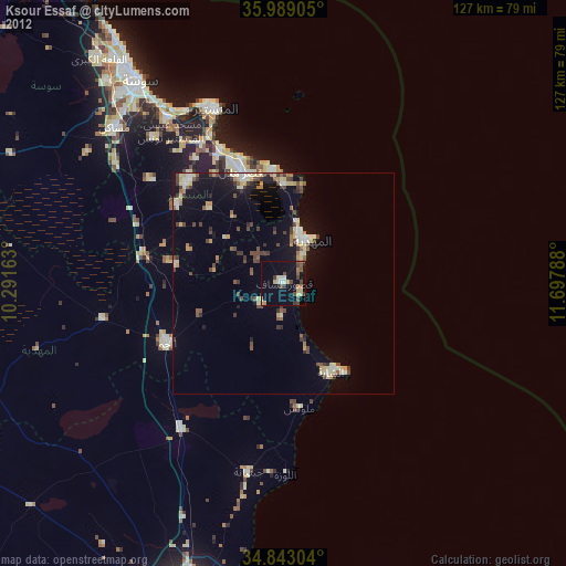
» Earth at Night: Flat Maps 2012, 2016