Takelsa night lights from space
Night Light of Takelsa (Nābul) from space (Tunisia) Src. Average luminocity for 10x10km area is 3.0822% and for 50x50km: 6.5985%.
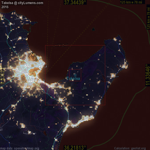
Analysis of Takelsa night lights 2016
Square area 10x10 km:
 0%
0%90-99
0%80-89
1.4%70-79
0%60-69
0%50-59
0%40-49
0.17%30-39
2.62%20-29
1.4%10-19
0.7%0-9
93.71%Square area 50x50 km:
0.57%90-99
0.61%80-89
0.79%70-79
0.89%60-69
1.02%50-59
0.78%40-49
0.93%30-39
0.97%20-29
1.8%10-19
8.44%0-9
83.21%Clear (daylight) street map image can be seen on geolist.org.
Map coordinates:
37° 20' 39.8" North, 9° 55' 48.8" East
36° 46' 60" North, 10° 37' 60" East
36° 13' 5.3" North, 11° 20' 11.3" East
Some cities around Takelsa sort by population:
• La Goulette
29.5 km =18.3 mi,  277°
277°
• Al Marsá
29.4 km =18.3 mi,  291°
291°
• Hammam-Lif
26.7 km =16.6 mi,  256°
256°
• Mennzel Bou Zelfa
12 km =7.5 mi,  201°
201°
• Carthage
28.2 km =17.5 mi, 287°
• Beni Khalled
15.3 km =9.5 mi,  194°
194°
• Bou Arkoub
28.2 km =17.5 mi, 195°
• Zaouiat Djedidi
16.4 km =10.2 mi, 198°
2464804 (p: 20,659)
Sources (retrieved 2019-11-25):
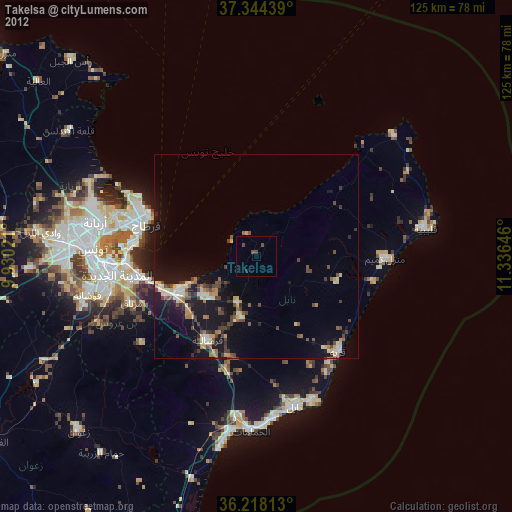
» Earth at Night: Flat Maps 2012, 2016