Medjez el Bab night lights from space
Night Light of Medjez el Bab (Bājah) from space (Tunisia) Src. Average luminocity for 10x10km area is 12.1795% and for 50x50km: 1.7254%.
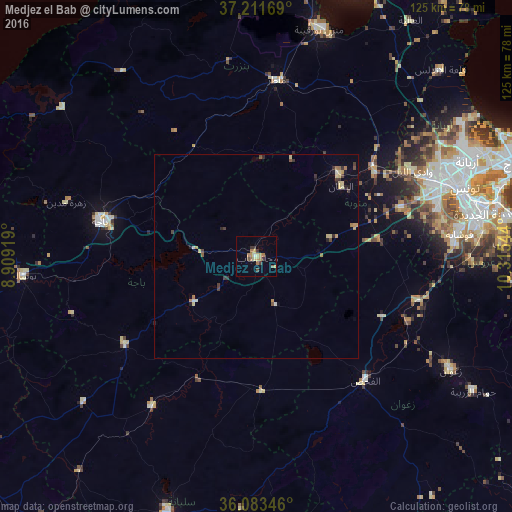
Analysis of Medjez el Bab night lights 2016
Square area 10x10 km:
 0%
0%90-99
0.73%80-89
2.2%70-79
2.93%60-69
4.58%50-59
0.18%40-49
1.65%30-39
3.48%20-29
0%10-19
0%0-9
84.25%Square area 50x50 km:
0.05%90-99
0.08%80-89
0.41%70-79
0.29%60-69
0.37%50-59
0.13%40-49
0.26%30-39
0.45%20-29
0.23%10-19
0.15%0-9
97.58%Clear (daylight) street map image can be seen on geolist.org.
Map coordinates:
37° 12' 42.1" North, 8° 54' 33.1" East
36° 38' 58.7" North, 9° 36' 44.3" East
36° 5' 0.5" North, 10° 18' 55.6" East
Some cities around Medjez el Bab sort by population:
• Béja
39.3 km =24.4 mi,  282°
282°
• Oued Lill
43.3 km =26.9 mi,  61°
61°
• Mateur
43.7 km =27.2 mi,  6°
6°
• El Fahs
40.4 km =25.1 mi,  139°
139°
• Testour
18.6 km =11.6 mi,  234°
234°
• Tabursuq
39 km =24.2 mi,  236°
236°
• Bou Arada
33 km =20.5 mi,  178°
178°
• El Battan
26.8 km =16.7 mi,  50°
50°
2469386 (p: 20,118)
Sources (retrieved 2019-11-25):
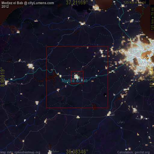
» Earth at Night: Flat Maps 2012, 2016