Mateur night lights from space
Night Light of Mateur (Banzart) from space (Tunisia) Src. Average luminocity for 10x10km area is 9.6412% and for 50x50km: 4.1692%.
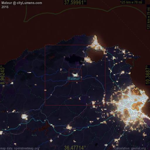
Analysis of Mateur night lights 2016
Square area 10x10 km:
 0.85%
0.85%90-99
2.55%80-89
0.85%70-79
2.21%60-69
0.68%50-59
0.51%40-49
0.17%30-39
1.87%20-29
1.53%10-19
0.68%0-9
88.1%Square area 50x50 km:
0.32%90-99
0.54%80-89
0.55%70-79
0.69%60-69
0.85%50-59
0.54%40-49
0.38%30-39
0.64%20-29
0.61%10-19
2.9%0-9
91.97%Clear (daylight) street map image can be seen on geolist.org.
Map coordinates:
37° 35' 58.6" North, 8° 57' 44.8" East
37° 2' 25.6" North, 9° 39' 56.1" East
36° 28' 37.7" North, 10° 22' 7.3" East
Some cities around Mateur sort by population:
• Bizerte
31.9 km =19.8 mi,  35°
35°
• Menzel Bourguiba
16.5 km =10.3 mi, 40°
• Menzel Jemil
31 km =19.3 mi,  45°
45°
• Douar Tindja
15.9 km =9.9 mi,  28°
28°
• El Alia
35.7 km =22.2 mi,  66°
66°
• Menzel Abderhaman
28 km =17.4 mi, 38°
• El Battan
30.7 km =19.1 mi,  148°
148°
• Sejenane
38 km =23.6 mi,  272°
272°
2469088 (p: 31,005)
Sources (retrieved 2019-11-25):
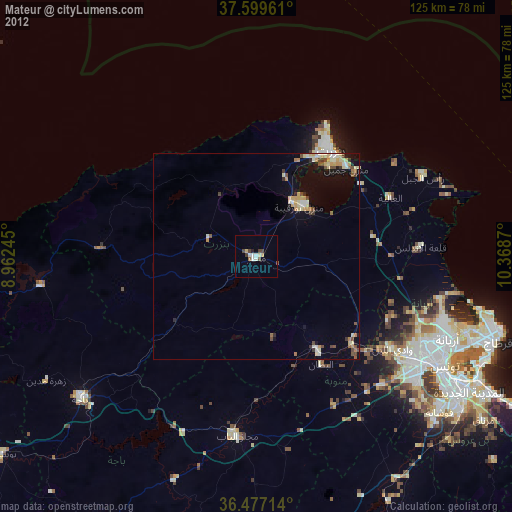
» Earth at Night: Flat Maps 2012, 2016