Medenine night lights from space
Night Light of Medenine (Madanīn) from space (Tunisia) Src. Average luminocity for 10x10km area is 28.5787% and for 50x50km: 2.0514%.
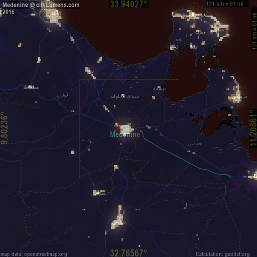
Analysis of Medenine night lights 2016
Square area 10x10 km:
 4.02%
4.02%90-99
2.97%80-89
8.57%70-79
5.42%60-69
0.7%50-59
3.32%40-49
2.8%30-39
1.57%20-29
2.1%10-19
31.82%0-9
36.71%Square area 50x50 km:
0.16%90-99
0.12%80-89
0.51%70-79
0.41%60-69
0.16%50-59
0.24%40-49
0.3%30-39
0.28%20-29
0.22%10-19
1.71%0-9
95.89%Clear (daylight) street map image can be seen on geolist.org.
Map coordinates:
33° 56' 25" North, 9° 48' 8.5" East
33° 21' 17.8" North, 10° 30' 19.7" East
32° 45' 56.4" North, 11° 12' 31" East
Some cities around Medenine sort by population:
• Gabès
69.6 km =43.2 mi,  327°
327°
• Zarzis
58.7 km =36.5 mi,  73°
73°
• Houmt El Souk
66.4 km =41.3 mi,  29°
29°
• Tataouine
47.6 km =29.6 mi,  186°
186°
• El Hamma
88.7 km =55.1 mi,  312°
312°
• Midoun
67.6 km =42 mi,  41°
41°
• Erriadh
61 km =37.9 mi, 31°
• Ben Gardane
70.7 km =43.9 mi,  109°
109°
2469473 (p: 61,705)
Sources (retrieved 2019-11-25):
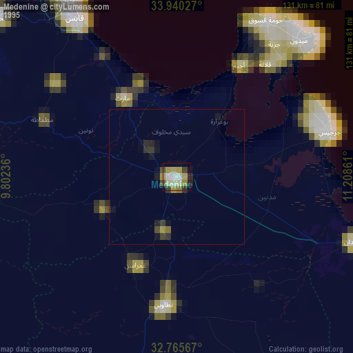
» NASA, Earths city lights 1995
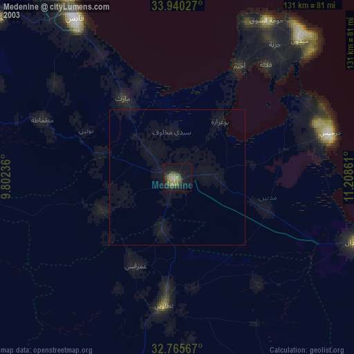
» NASA city lights 2003
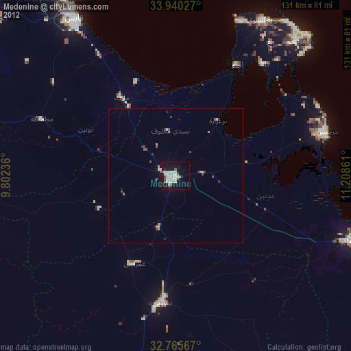
» Earth at Night: Flat Maps 2012, 2016