Zarzis night lights from space
Night Light of Zarzis (Madanīn) from space (Tunisia) Src. Average luminocity for 10x10km area is 29.2967% and for 50x50km: 1.8019%.
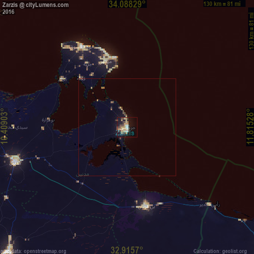
Analysis of Zarzis night lights 2016
Square area 10x10 km:
 1.65%
1.65%90-99
3.48%80-89
5.68%70-79
7.69%60-69
3.48%50-59
2.56%40-49
4.76%30-39
5.13%20-29
2.93%10-19
32.42%0-9
30.22%Square area 50x50 km:
0.06%90-99
0.14%80-89
0.26%70-79
0.4%60-69
0.25%50-59
0.24%40-49
0.3%30-39
0.4%20-29
0.16%10-19
1.62%0-9
96.17%Clear (daylight) street map image can be seen on geolist.org.
Map coordinates:
34° 5' 17.8" North, 10° 24' 32.5" East
33° 30' 14.3" North, 11° 6' 43.7" East
32° 54' 56.5" North, 11° 48' 55" East
Some cities around Zarzis sort by population:
• Gabès
102.8 km =63.9 mi,  294°
294°
• Houmt El Souk
47.6 km =29.6 mi,  330°
330°
• Tataouine
88.6 km =55.1 mi,  223°
223°
• Medenine
58.7 km =36.5 mi,  253°
253°
• Midoun
35.6 km =22.1 mi,  341°
341°
• Zalţan, LY
93.6 km =58.2 mi,  131°
131°
• Erriadh
42.6 km =26.5 mi, 325°
• Ben Gardane
41.9 km =26 mi,  166°
166°
2470173 (p: 79,316)
Sources (retrieved 2019-11-25):
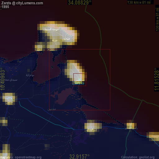
» NASA, Earths city lights 1995
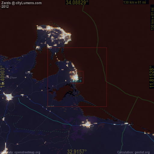
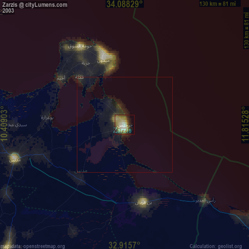
» NASA city lights 2003
» Earth at Night: Flat Maps 2012, 2016