Ben Gardane night lights from space
Night Light of Ben Gardane (Madanīn) from space (Tunisia) Src. Average luminocity for 10x10km area is 22.8242% and for 50x50km: 1.1264%.
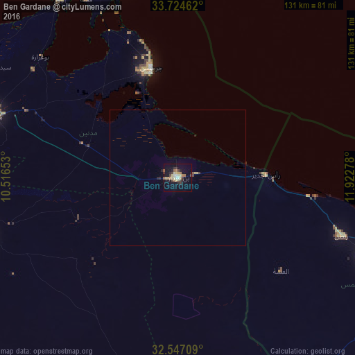
Analysis of Ben Gardane night lights 2016
Square area 10x10 km:
 0.73%
0.73%90-99
3.11%80-89
4.95%70-79
4.03%60-69
4.03%50-59
1.28%40-49
2.01%30-39
5.13%20-29
1.83%10-19
19.78%0-9
53.11%Square area 50x50 km:
0.03%90-99
0.12%80-89
0.26%70-79
0.16%60-69
0.17%50-59
0.07%40-49
0.13%30-39
0.25%20-29
0.15%10-19
0.8%0-9
97.85%Clear (daylight) street map image can be seen on geolist.org.
Map coordinates:
33° 43' 28.6" North, 10° 30' 59.5" East
33° 8' 16.2" North, 11° 13' 10.7" East
32° 32' 49.5" North, 11° 55' 22" East
Some cities around Ben Gardane sort by population:
• Zarzis
41.9 km =26 mi,  346°
346°
• Houmt El Souk
88.7 km =55.1 mi,  337°
337°
• Tataouine
75.2 km =46.7 mi,  252°
252°
• Medenine
70.7 km =43.9 mi,  289°
289°
• Zuwārah, LY
83.6 km =51.9 mi,  105°
105°
• Midoun
77.5 km =48.2 mi, 344°
• Zalţan, LY
63.9 km =39.7 mi, 109°
• Erriadh
83.2 km =51.7 mi, 335°
2472431 (p: 13,364)
Sources (retrieved 2019-11-25):
» Earth at Night: Flat Maps 2012, 2016