Chebba night lights from space
Night Light of Chebba (Al Mahdīyah) from space (Tunisia) Src. Average luminocity for 10x10km area is 15.0559% and for 50x50km: 2.3357%.
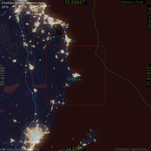
Analysis of Chebba night lights 2016
Square area 10x10 km:
 0.7%
0.7%90-99
0.7%80-89
4.37%70-79
2.27%60-69
4.55%50-59
1.4%40-49
0.52%30-39
1.22%20-29
0.52%10-19
3.5%0-9
80.24%Square area 50x50 km:
0.09%90-99
0.09%80-89
0.47%70-79
0.23%60-69
0.53%50-59
0.29%40-49
0.51%30-39
0.46%20-29
0.21%10-19
0.98%0-9
96.16%Clear (daylight) street map image can be seen on geolist.org.
Map coordinates:
35° 48' 34.1" North, 10° 24' 42.8" East
35° 14' 14" North, 11° 6' 54" East
34° 39' 39.2" North, 11° 49' 5.3" East
Some cities around Chebba sort by population:
• Mahdia
30.1 km =18.7 mi,  350°
350°
• Zouila
29.7 km =18.5 mi, 350°
• Ksour Essaf
22.9 km =14.2 mi,  331°
331°
• El Jem
36.8 km =22.9 mi,  280°
280°
• Bekalta
43.7 km =27.2 mi, 345°
• Djebeniana
29.3 km =18.2 mi,  219°
219°
• Sidi Alouane
22.1 km =13.7 mi,  313°
313°
• Melloulèche
10.7 km =6.6 mi, 222°
2473229 (p: 21,559)
Sources (retrieved 2019-11-25):
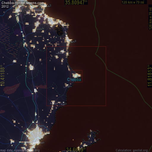
» Earth at Night: Flat Maps 2012, 2016