Kélibia night lights from space
Night Light of Kélibia (Nābul) from space (Tunisia) Src. Average luminocity for 10x10km area is 18.2127% and for 50x50km: 2.2118%.
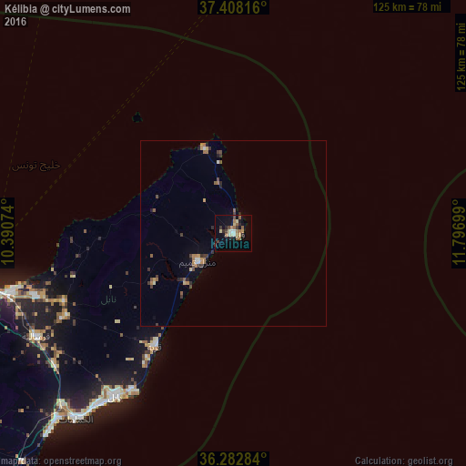
Analysis of Kélibia night lights 2016
Square area 10x10 km:
 0.81%
0.81%90-99
1.3%80-89
4.22%70-79
1.95%60-69
3.08%50-59
3.57%40-49
2.44%30-39
2.44%20-29
3.41%10-19
7.79%0-9
68.99%Square area 50x50 km:
0.08%90-99
0.19%80-89
0.25%70-79
0.33%60-69
0.37%50-59
0.46%40-49
0.31%30-39
0.52%20-29
0.41%10-19
0.52%0-9
96.57%Clear (daylight) street map image can be seen on geolist.org.
Map coordinates:
37° 24' 29.4" North, 10° 23' 26.7" East
36° 50' 51.3" North, 11° 5' 37.9" East
36° 16' 58.2" North, 11° 47' 49.2" East
Some cities around Kélibia sort by population:
• Korba
36.5 km =22.7 mi,  215°
215°
• Takelsa
41.6 km =25.8 mi,  260°
260°
• Beni Khiar
50.4 km =31.3 mi,  213°
213°
• Mennzel Bou Zelfa
48.9 km =30.4 mi,  248°
248°
• Beni Khalled
50 km =31.1 mi,  243°
243°
• El Haouaria
23.6 km =14.7 mi,  342°
342°
• El Maamoura
49.7 km =30.9 mi, 211°
• Zaouiat Djedidi
51.5 km =32 mi, 243°
2467959 (p: 43,209)
Sources (retrieved 2019-11-25):
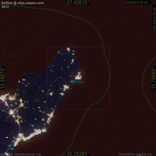
» Earth at Night: Flat Maps 2012, 2016