El Maamoura night lights from space
Night Light of El Maamoura (Nābul) from space (Tunisia) Src. Average luminocity for 10x10km area is 20.8498% and for 50x50km: 7.8153%.
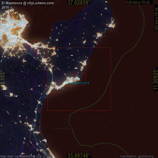
Analysis of El Maamoura night lights 2016
Square area 10x10 km:
 1.83%
1.83%90-99
2.56%80-89
4.58%70-79
1.1%60-69
5.13%50-59
0.18%40-49
2.56%30-39
2.2%20-29
4.21%10-19
28.21%0-9
47.44%Square area 50x50 km:
0.93%90-99
1.06%80-89
1.38%70-79
0.7%60-69
1.03%50-59
0.66%40-49
0.73%30-39
0.99%20-29
1.88%10-19
8.95%0-9
81.68%Clear (daylight) street map image can be seen on geolist.org.
Map coordinates:
37° 1' 42.2" North, 10° 6' 10.8" East
36° 27' 54" North, 10° 48' 22" East
35° 53' 50.9" North, 11° 30' 33.3" East
Some cities around El Maamoura sort by population:
• Douane
4.9 km =3 mi,  246°
246°
• Nabeul
6.2 km =3.9 mi,  260°
260°
• Hammamet
18.4 km =11.4 mi, 246°
• Dar Chabanne
4.9 km =3 mi,  273°
273°
• Korba
13.5 km =8.4 mi,  20°
20°
• Beni Khiar
2.2 km =1.4 mi,  282°
282°
• Beni Khalled
28.2 km =17.5 mi,  316°
316°
• Bou Arkoub
24.2 km =15 mi,  289°
289°
2473558 (p: 6,969)
Sources (retrieved 2019-11-25):
» Earth at Night: Flat Maps 2012, 2016