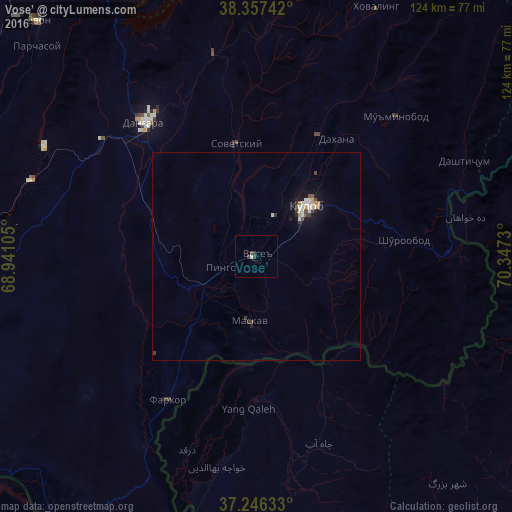
Vose’ night lights from space
Night Light of Vose’ (Khatlon) from space (Tajikistan) Src. Average luminocity for 10x10km area is 1.9354% and for 50x50km: 1.1518%.

Analysis of Vose’ night lights 2016
Square area 10x10 km:
 0%
0%90-99
0.68%80-89
0%70-79
0%60-69
0%50-59
0%40-49
1.36%30-39
1.02%20-29
0.34%10-19
0.17%0-9
96.43%Square area 50x50 km:
0.05%90-99
0.34%80-89
0.07%70-79
0.13%60-69
0.08%50-59
0.09%40-49
0.16%30-39
0.31%20-29
0.12%10-19
0.85%0-9
97.8%Clear (daylight) street map image can be seen on geolist.org.
Map coordinates:
38° 21' 26.7" North, 68° 56' 27.8" East
37° 48' 14.3" North, 69° 38' 39" East
37° 14' 46.8" North, 70° 20' 50.3" East
Some cities around Vose’ sort by population:
• Kŭlob
17.4 km =10.8 mi,  45°
45°
• Danghara
42 km =26.1 mi,  320°
320°
• Farkhor
40.6 km =25.2 mi,  211°
211°
• Chubek
21.7 km =13.5 mi,  165°
165°
• Mŭ’minobod
47.9 km =29.8 mi, 45°
• Sovet
27.4 km =17 mi,  349°
349°
• Kirov
69 km =42.9 mi,  271°
271°
• Yangī Qal‘ah, AF
37.7 km =23.4 mi,  184°
184°
1220163 (p: 21,736)
Sources (retrieved 2019-11-25):
» Earth at Night: Flat Maps 2012, 2016