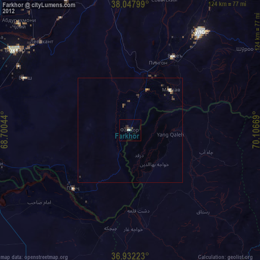
Farkhor night lights from space
Night Light of Farkhor (Khatlon) from space (Tajikistan) Src. Average luminocity for 10x10km area is 0.6412% and for 50x50km: 0.0765%.
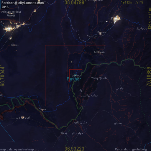
Analysis of Farkhor night lights 2016
Square area 10x10 km:
 0%
0%90-99
0%80-89
0%70-79
0%60-69
0%50-59
0%40-49
0%30-39
1.3%20-29
0.49%10-19
0.16%0-9
98.05%Square area 50x50 km:
0%90-99
0%80-89
0%70-79
0%60-69
0%50-59
0%40-49
0.02%30-39
0.14%20-29
0.03%10-19
0.03%0-9
99.78%Clear (daylight) street map image can be seen on geolist.org.
Map coordinates:
38° 2' 52.8" North, 68° 42' 1.6" East
37° 29' 31.9" North, 69° 24' 12.8" East
36° 55' 56" North, 70° 6' 24.1" East
Some cities around Farkhor sort by population:
• Vose’
40.6 km =25.2 mi,  31°
31°
• Chubek
29.9 km =18.6 mi,  62°
62°
• Ārt Khwājah, AF
45.7 km =28.4 mi,  171°
171°
• Imām Şāḩib, AF
53.3 km =33.1 mi,  230°
230°
• Dasht-e Archī, AF
45.1 km =28 mi,  207°
207°
• Panj
39.2 km =24.4 mi,  223°
223°
• Yangī Qal‘ah, AF
18.6 km =11.6 mi,  99°
99°
• Orzu
52 km =32.3 mi,  278°
278°
1220826 (p: 21,736)
Sources (retrieved 2019-11-25):
» Earth at Night: Flat Maps 2012, 2016