Kirov night lights from space
Night Light of Kirov (Khatlon) from space (Tajikistan) Src. Average luminocity for 10x10km area is 13.1276% and for 50x50km: 2.3795%.
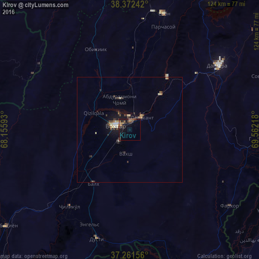
Analysis of Kirov night lights 2016
Square area 10x10 km:
 0.17%
0.17%90-99
0.68%80-89
2.21%70-79
1.7%60-69
2.21%50-59
1.87%40-49
0.85%30-39
4.76%20-29
3.57%10-19
14.29%0-9
67.69%Square area 50x50 km:
0.07%90-99
0.36%80-89
0.42%70-79
0.21%60-69
0.26%50-59
0.24%40-49
0.34%30-39
0.72%20-29
0.53%10-19
2.06%0-9
94.81%Clear (daylight) street map image can be seen on geolist.org.
Map coordinates:
38° 22' 20.7" North, 68° 9' 21.3" East
37° 49' 8.7" North, 68° 51' 32.6" East
37° 15' 41.6" North, 69° 33' 43.8" East
Some cities around Kirov sort by population:
• Qŭrghonteppa
7 km =4.3 mi,  283°
283°
• Moskovskiy
33.8 km =21 mi,  226°
226°
• Kolkhozobod
31.1 km =19.3 mi,  214°
214°
• Vakhsh
11.8 km =7.3 mi,  190°
190°
• Abdurahmoni Jomí
14.8 km =9.2 mi,  342°
342°
• Gharavŭtí
45.8 km =28.5 mi, 232°
• Orzu
29.2 km =18.1 mi, 186°
• Jilikŭl
46.5 km =28.9 mi,  218°
218°
1221297 (p: 7,696)
Sources (retrieved 2019-11-25):
» Earth at Night: Flat Maps 2012, 2016