Kuchinarai night lights from space
Night Light of Kuchinarai (Kalasin) from space (Thailand) Src. Average luminocity for 10x10km area is 11.3657% and for 50x50km: 1.7842%.
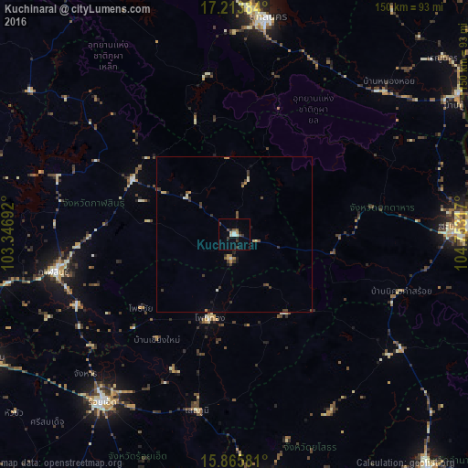
Analysis of Kuchinarai night lights 2016
Square area 10x10 km:
 0.62%
0.62%90-99
2.69%80-89
0.21%70-79
1.24%60-69
0.21%50-59
2.27%40-49
1.86%30-39
3.72%20-29
1.24%10-19
1.65%0-9
84.3%Square area 50x50 km:
0.05%90-99
0.26%80-89
0.12%70-79
0.34%60-69
0.17%50-59
0.21%40-49
0.38%30-39
0.74%20-29
0.2%10-19
0.26%0-9
97.28%Clear (daylight) street map image can be seen on geolist.org.
Map coordinates:
17° 12' 49.8" North, 103° 20' 48.9" East
16° 32' 27.6" North, 104° 3' 0.1" East
15° 51' 56.9" North, 104° 45' 11.4" East
Some cities around Kuchinarai sort by population:
• Kalasin
59.2 km =36.8 mi,  258°
258°
• Roi Et
68.5 km =42.6 mi,  218°
218°
• Kamalasai
55.4 km =34.4 mi,  245°
245°
• Ban Selaphum
59.3 km =36.8 mi,  190°
190°
• Khao Wong
18.2 km =11.3 mi,  13°
13°
• Pho Chai
38.1 km =23.7 mi,  231°
231°
• Waeng
27.9 km =17.3 mi,  196°
196°
• Moeiwadi
20.4 km =12.7 mi,  145°
145°
1609345 (p: 20,532)
Sources (retrieved 2019-11-25):
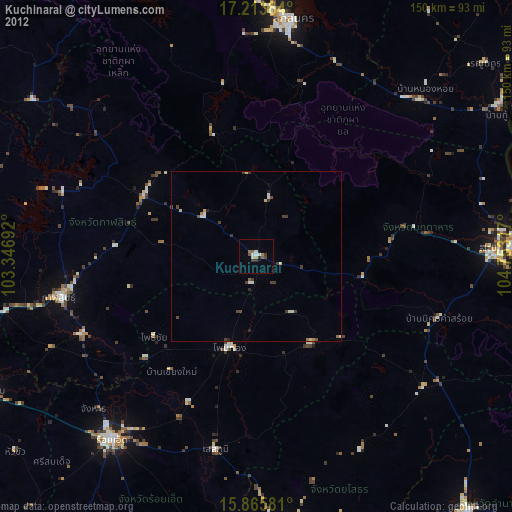
» Earth at Night: Flat Maps 2012, 2016