Sing Buri night lights from space
Night Light of Sing Buri from space (Thailand) Src. Average luminocity for 10x10km area is 50.7831% and for 50x50km: 13.8245%.
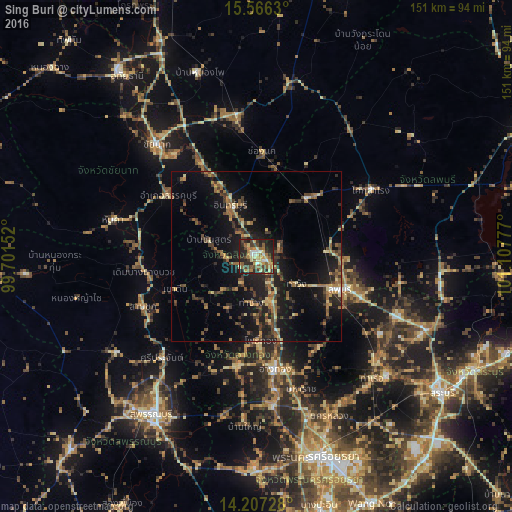
Analysis of Sing Buri night lights 2016
Square area 10x10 km:
 3.31%
3.31%90-99
7.64%80-89
7.85%70-79
11.16%60-69
7.64%50-59
11.78%40-49
8.26%30-39
7.85%20-29
22.93%10-19
11.57%0-9
0%Square area 50x50 km:
0.26%90-99
0.53%80-89
2.02%70-79
1.59%60-69
2.84%50-59
2.53%40-49
2.74%30-39
3.5%20-29
4.13%10-19
14.1%0-9
65.77%Clear (daylight) street map image can be seen on geolist.org.
Map coordinates:
15° 33' 58.7" North, 99° 42' 5.5" East
14° 53' 16.3" North, 100° 24' 16.7" East
14° 12' 26.2" North, 101° 6' 28" East
Some cities around Sing Buri sort by population:
• Lop Buri
28.6 km =17.8 mi,  110°
110°
• Wiset Chaichan
33.4 km =20.8 mi,  192°
192°
• Bang Racham
9.4 km =5.8 mi,  272°
272°
• Doembang Nangbuat
33.3 km =20.7 mi,  259°
259°
• Ban Thai Tan
30.9 km =19.2 mi,  163°
163°
• Ang Thong
33.7 km =20.9 mi,  171°
171°
• Chaiyo
24.5 km =15.2 mi, 163°
• Pho Thong
24.5 km =15.2 mi,  178°
178°
1606270 (p: 20,046)
Sources (retrieved 2019-11-25):
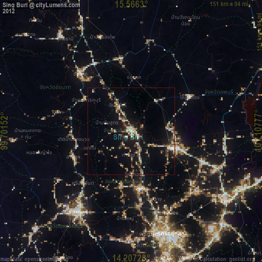
» Earth at Night: Flat Maps 2012, 2016