Kyaikkami night lights from space
Night Light of Kyaikkami (Mon) from space (Myanmar) Src. Average luminocity for 10x10km area is 1.4545% and for 50x50km: 0.6758%.
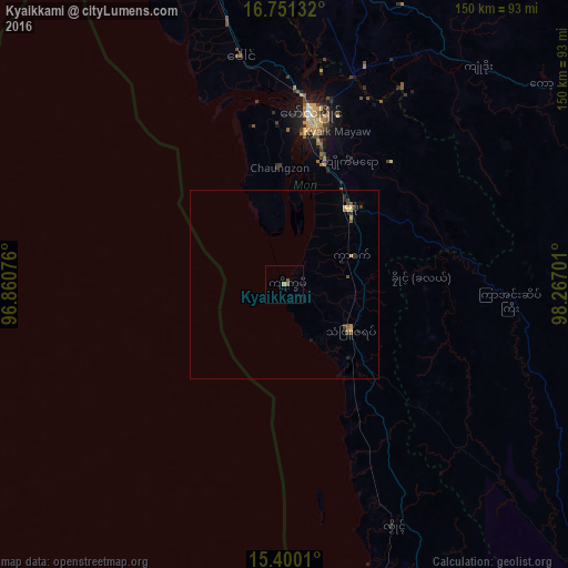
Analysis of Kyaikkami night lights 2016
Square area 10x10 km:
 0%
0%90-99
0%80-89
0%70-79
0.83%60-69
0%50-59
0.83%40-49
0.83%30-39
0%20-29
0%10-19
0%0-9
97.52%Square area 50x50 km:
0%90-99
0%80-89
0.19%70-79
0.15%60-69
0.06%50-59
0.12%40-49
0.26%30-39
0.1%20-29
0.21%10-19
0.04%0-9
98.88%Clear (daylight) street map image can be seen on geolist.org.
Map coordinates:
16° 45' 4.8" North, 96° 51' 38.7" East
16° 4' 36.7" North, 97° 33' 50" East
15° 24' 0.4" North, 98° 16' 1.2" East
Some cities around Kyaikkami sort by population:
• Mawlamyine
46.5 km =28.9 mi,  8°
8°
• Kyain Seikgyi Township
78.9 km =49 mi,  110°
110°
• Thaton
95.9 km =59.6 mi,  347°
347°
• Mudon
26.3 km =16.3 mi,  40°
40°
• Hpa-An
90.7 km =56.4 mi,  4°
4°
• Martaban
50.5 km =31.4 mi, 6°
• Myawadi
121.6 km =75.6 mi,  55°
55°
• Mae Sot, TH
128.5 km =79.8 mi, 56°
1317402 (p: 48,100)
Sources (retrieved 2019-11-25):
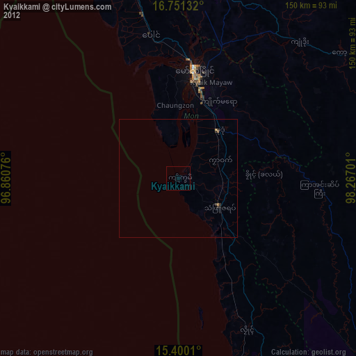
» Earth at Night: Flat Maps 2012, 2016