Phuket night lights from space
Night Light of Phuket from space (Thailand) Src. Average luminocity for 10x10km area is 71.3058% and for 50x50km: 15.902%.
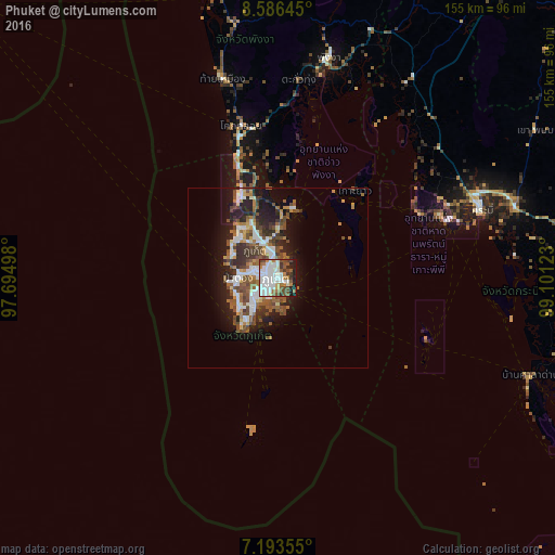
Analysis of Phuket night lights 2016
Square area 10x10 km:
 22.73%
90-99
25.21%80-89
2.27%70-79
3.72%60-69
7.85%50-59
10.12%40-49
8.88%30-39
6.4%20-29
6.61%10-19
6.2%0-9
0%Square area 50x50 km:
2.93%90-99
3.07%80-89
0.89%70-79
1.3%60-69
2.31%50-59
3.03%40-49
3.44%30-39
2.39%20-29
4.09%10-19
8.19%0-9
68.35%Clear (daylight) street map image can be seen on geolist.org.
Map coordinates:
8° 35' 11.2" North, 97° 41' 41.9" East
7° 53' 26.1" North, 98° 23' 53.2" East
7° 11' 36.8" North, 99° 6' 4.4" East
Some cities around Phuket sort by population:
• Ban Talat Yai
0.7 km =0.4 mi,  161°
161°
• Wichit
1.4 km =0.9 mi,  264°
264°
• Kathu
7.8 km =4.8 mi,  292°
292°
• Ban Ratsada
2.2 km =1.4 mi,  12°
12°
• Ban Talat Nua
1.5 km =0.9 mi,  245°
245°
• Ban Chalong
8.3 km =5.2 mi,  231°
231°
• Patong
11.2 km =7 mi,  273°
273°
• Ban Ko Kaeo
5.1 km =3.2 mi,  358°
358°
1151254 (p: 89,072)
Sources (retrieved 2019-11-25):
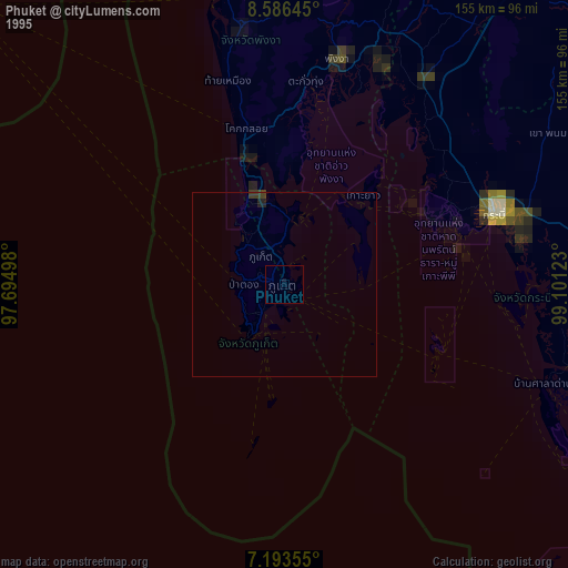
» NASA, Earths city lights 1995
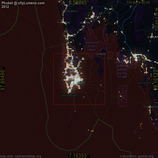
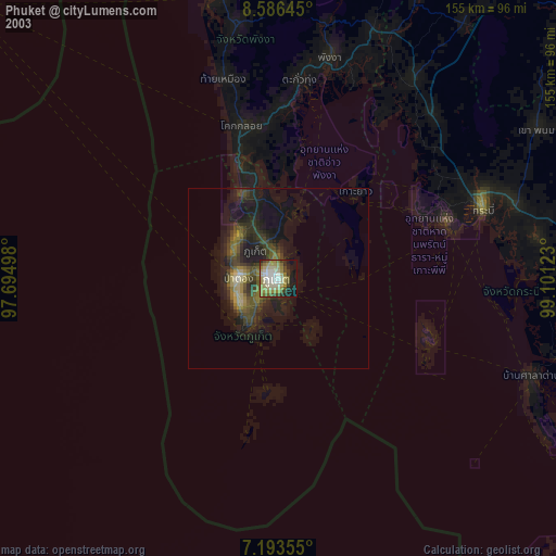
» NASA city lights 2003
» Earth at Night: Flat Maps 2012, 2016