Ban Talat Nua night lights from space
Night Light of Ban Talat Nua (Phuket) from space (Thailand) Src. Average luminocity for 10x10km area is 79.7562% and for 50x50km: 15.6675%.
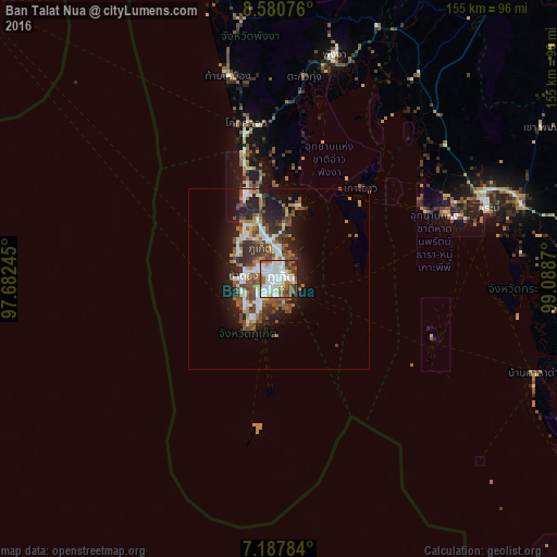
Analysis of Ban Talat Nua night lights 2016
Square area 10x10 km:
 28.93%
90-99
28.93%80-89
2.27%70-79
2.89%60-69
10.95%50-59
11.16%40-49
5.99%30-39
5.17%20-29
3.51%10-19
0.21%0-9
0%Square area 50x50 km:
2.91%90-99
3.06%80-89
0.86%70-79
1.29%60-69
2.26%50-59
2.97%40-49
3.38%30-39
2.39%20-29
4.02%10-19
7.97%0-9
68.89%Clear (daylight) street map image can be seen on geolist.org.
Map coordinates:
8° 34' 50.7" North, 97° 40' 56.8" East
7° 53' 5.6" North, 98° 23' 8.1" East
7° 11' 16.2" North, 99° 5' 19.3" East
Some cities around Ban Talat Nua sort by population:
• Phuket
1.5 km =0.9 mi,  65°
65°
• Wichit
0.5 km =0.3 mi,  355°
355°
• Kathu
6.8 km =4.2 mi,  302°
302°
• Ban Ratsada
3.3 km =2.1 mi,  34°
34°
• Ban Chalong
6.8 km =4.2 mi,  228°
228°
• Patong
9.9 km =6.2 mi,  277°
277°
• Ban Ko Kaeo
5.8 km =3.6 mi,  12°
12°
• Ban Karon
10.4 km =6.5 mi,  246°
246°
1117656 (p: 23,381)
Sources (retrieved 2019-11-25):
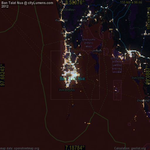
» Earth at Night: Flat Maps 2012, 2016